About Trails
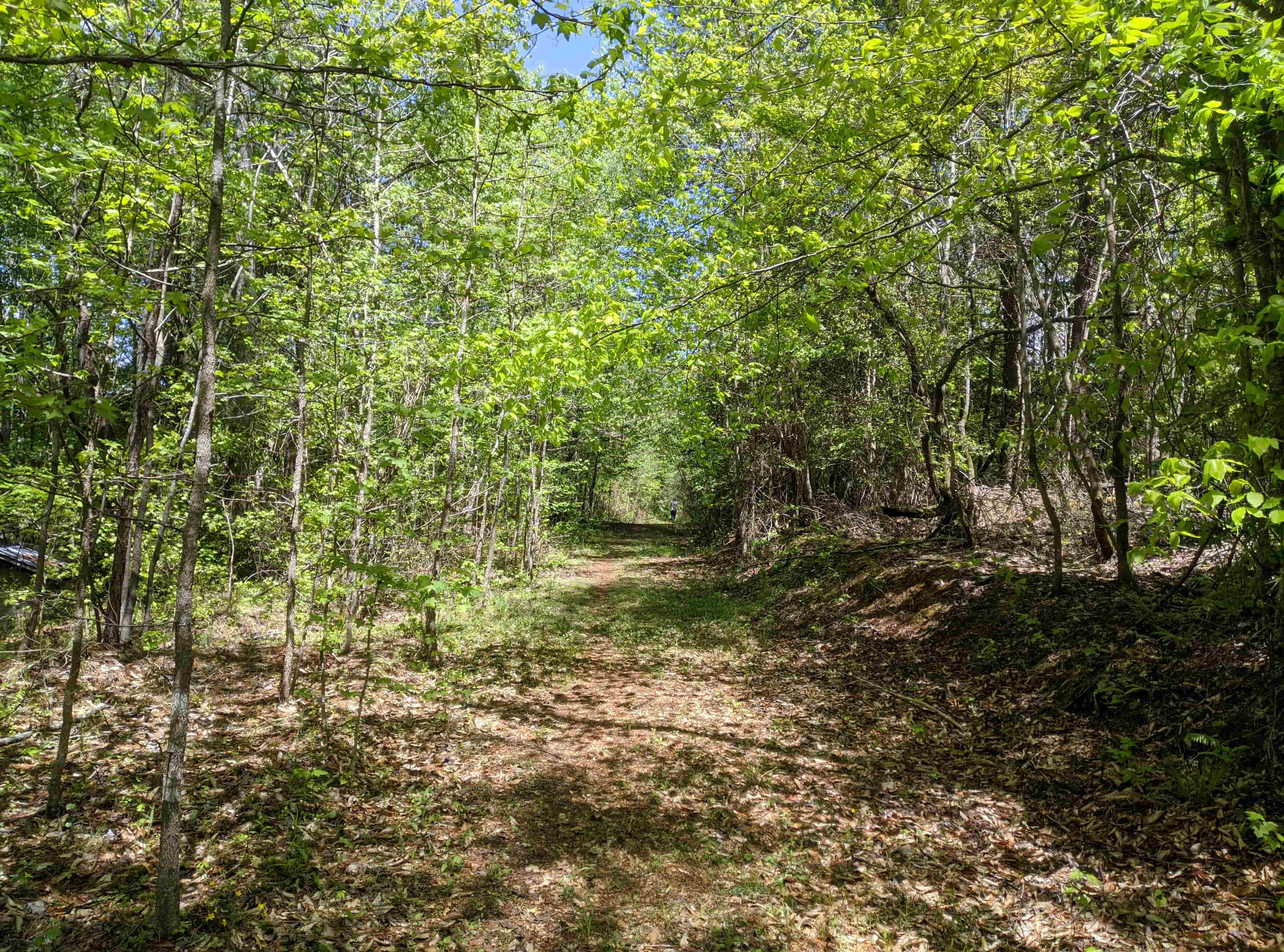
Greenway
Easy Trail
1.3 Miles - 8-10 Feet Wide
Great Sightseeing - Water Views, Picnic Shelter
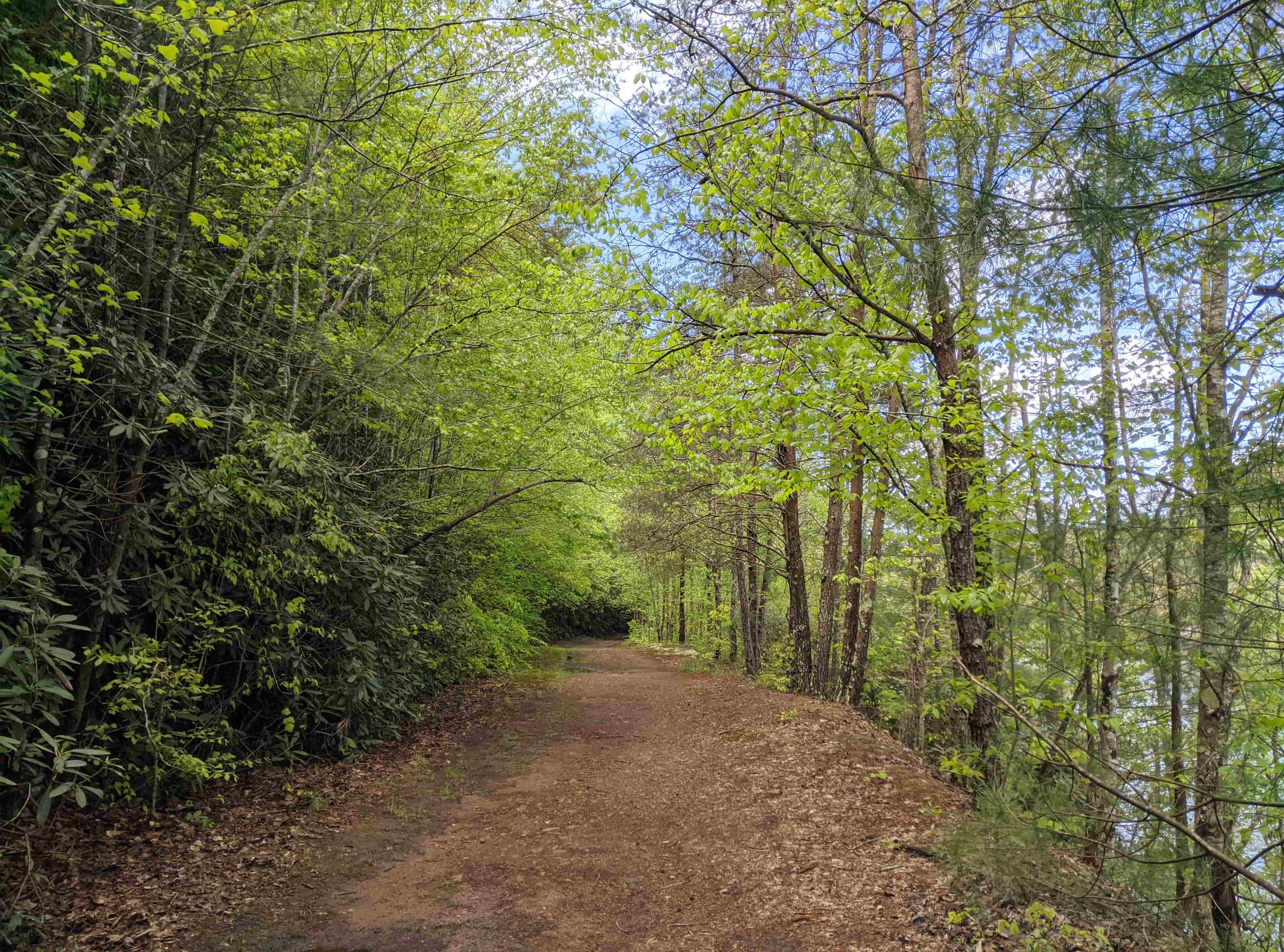
McGalliard Greenway
Easy Trail
0.6 Miles - Occassional tall grasses
Connects to McGalliard Falls Park from the end of VLP Greenway
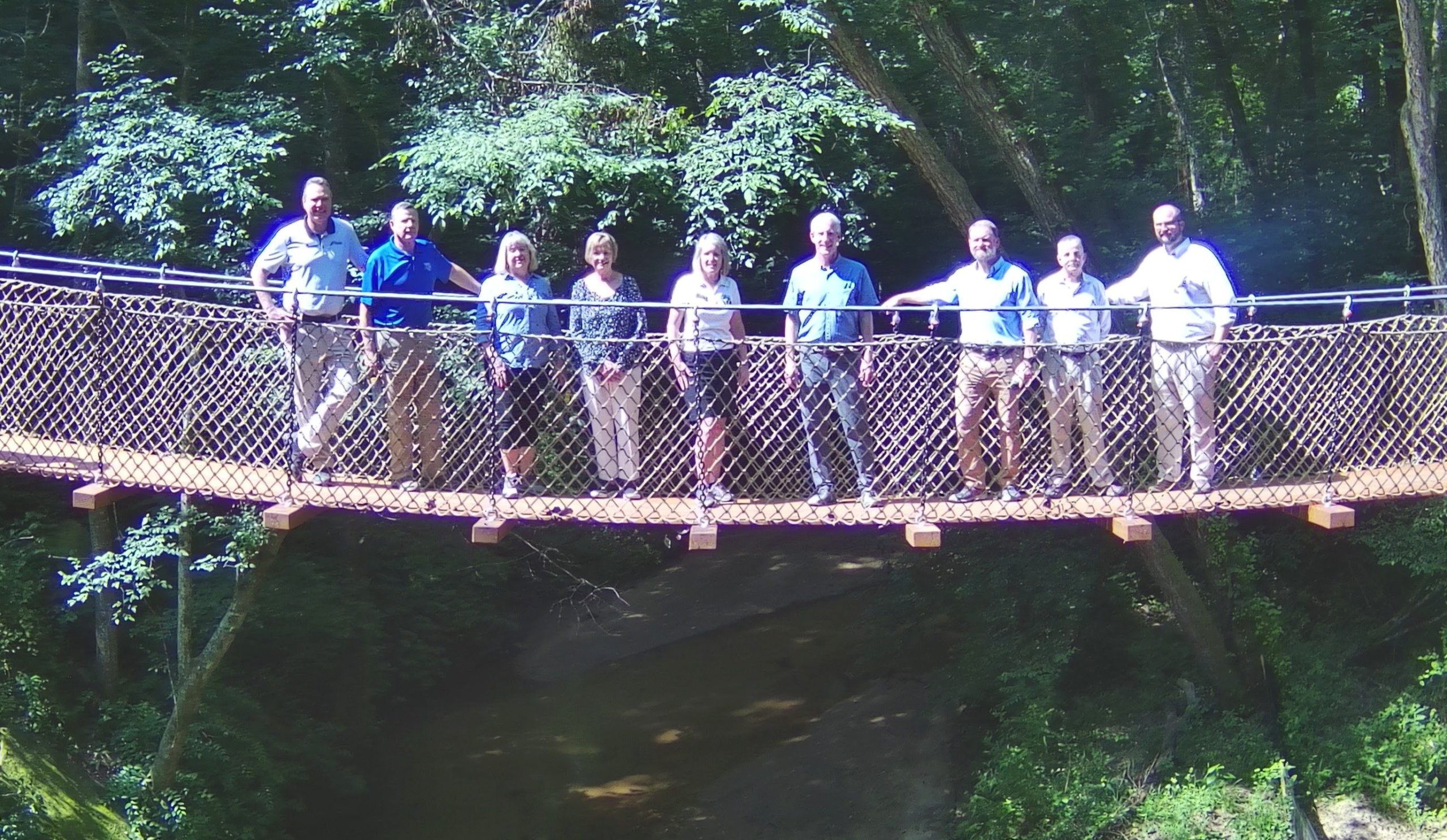
The bridge connects the VLP and McGalliard Falls Greenway
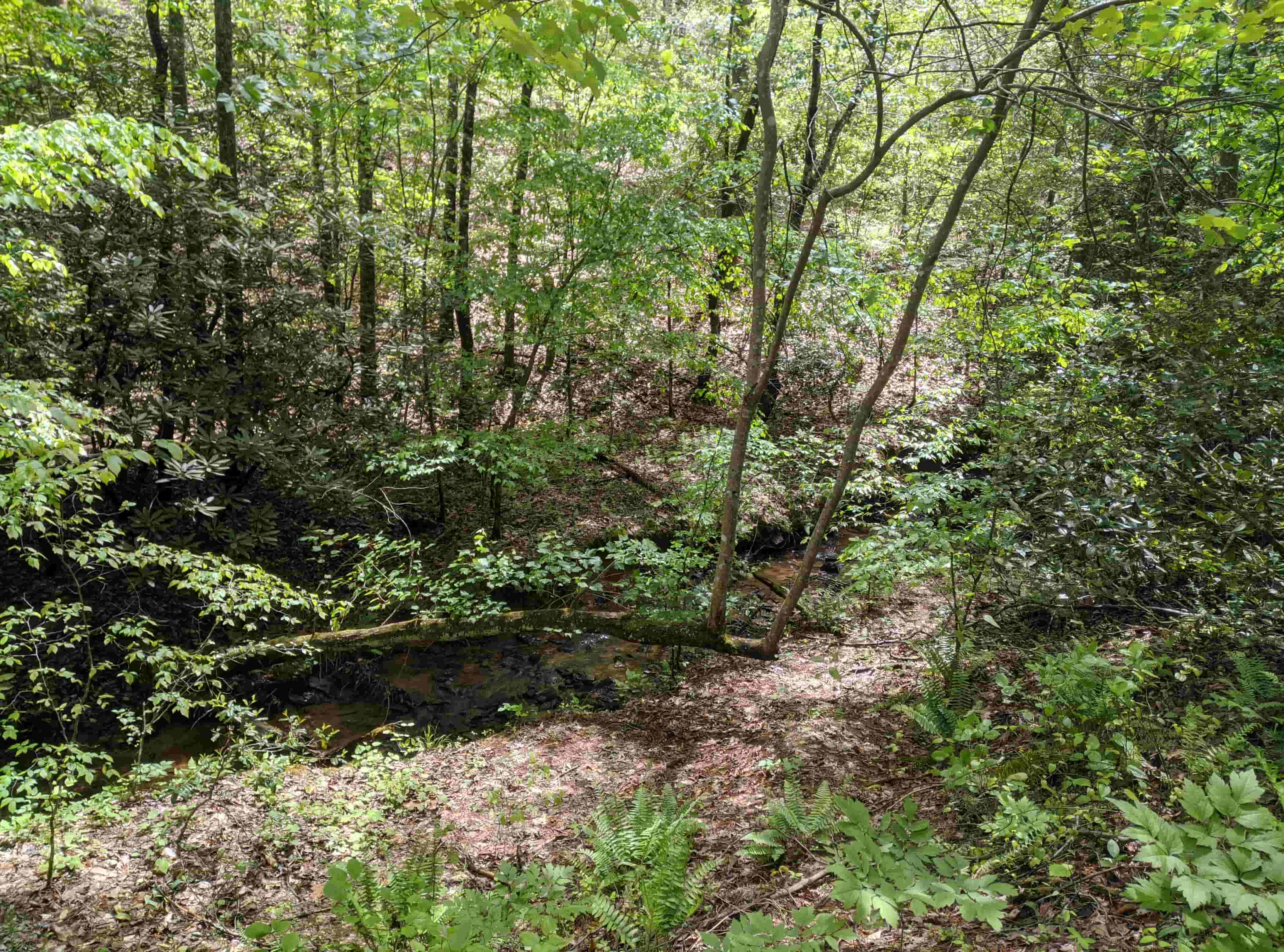
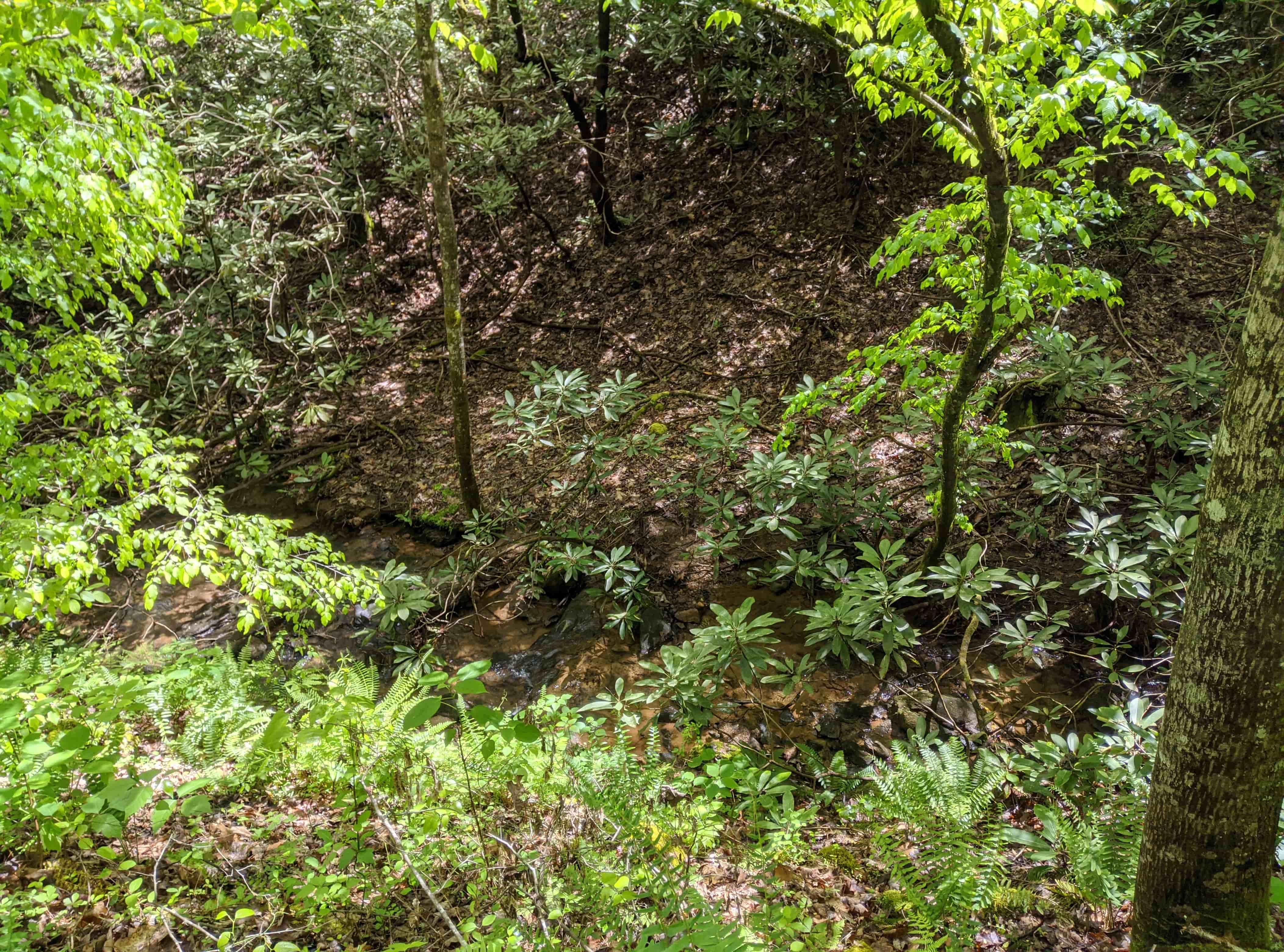
Yellow Creek
Easy Trail
0.35 Miles
Walks along creek the majority of the trail

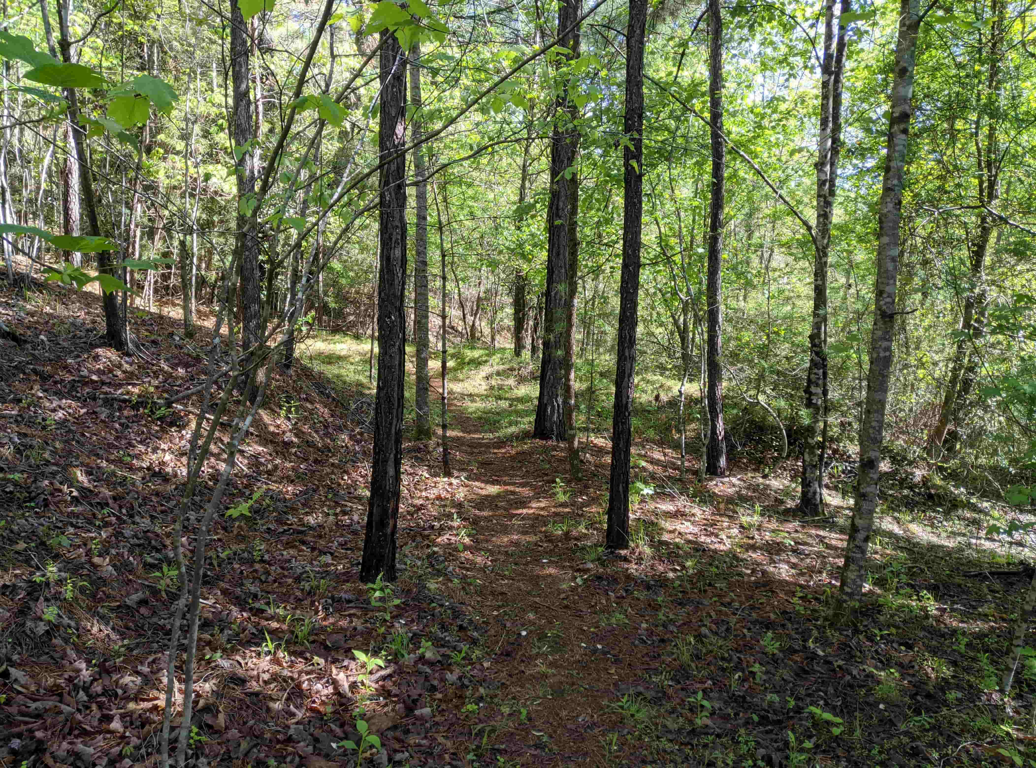
Red Outer Loop
Intermediate
1.6 Miles
Hiking Trail - Many elevation changes and hills
Blue Loop
Very Steep - Unrecommended
1/2 Mile
Difficult Trail for Mountain Bikes
Meditation Point Trail
Easy Trail
0.1 Miles
Freshly Built, level, wide and features great water views
No bikes - Take the blue loop instead if you want to get to Mediation Point
Lime
Intermediate
0.35 Miles
Trail through woods and connects from red to the greenway
There is a medium sized hill at the greenway end
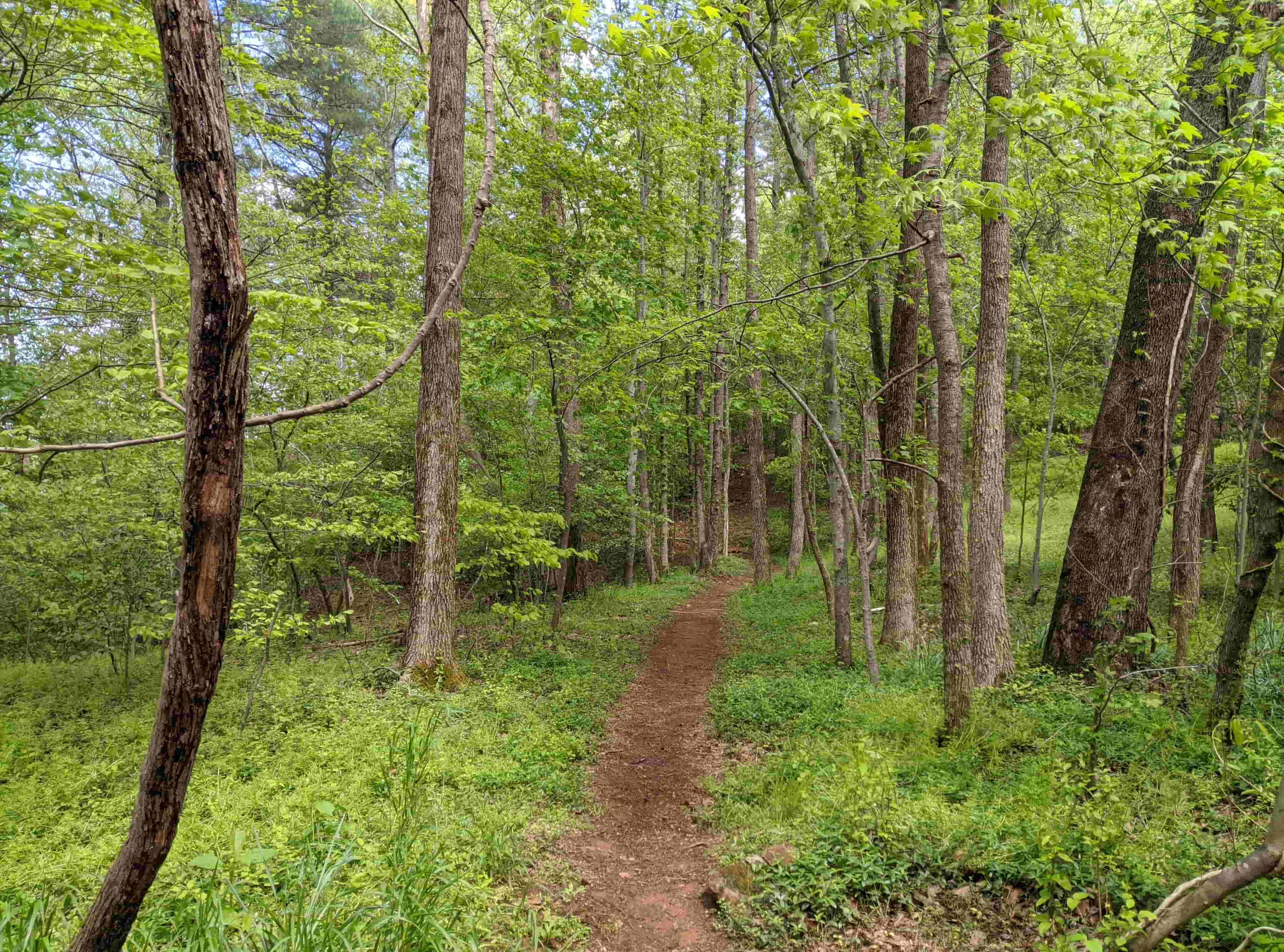
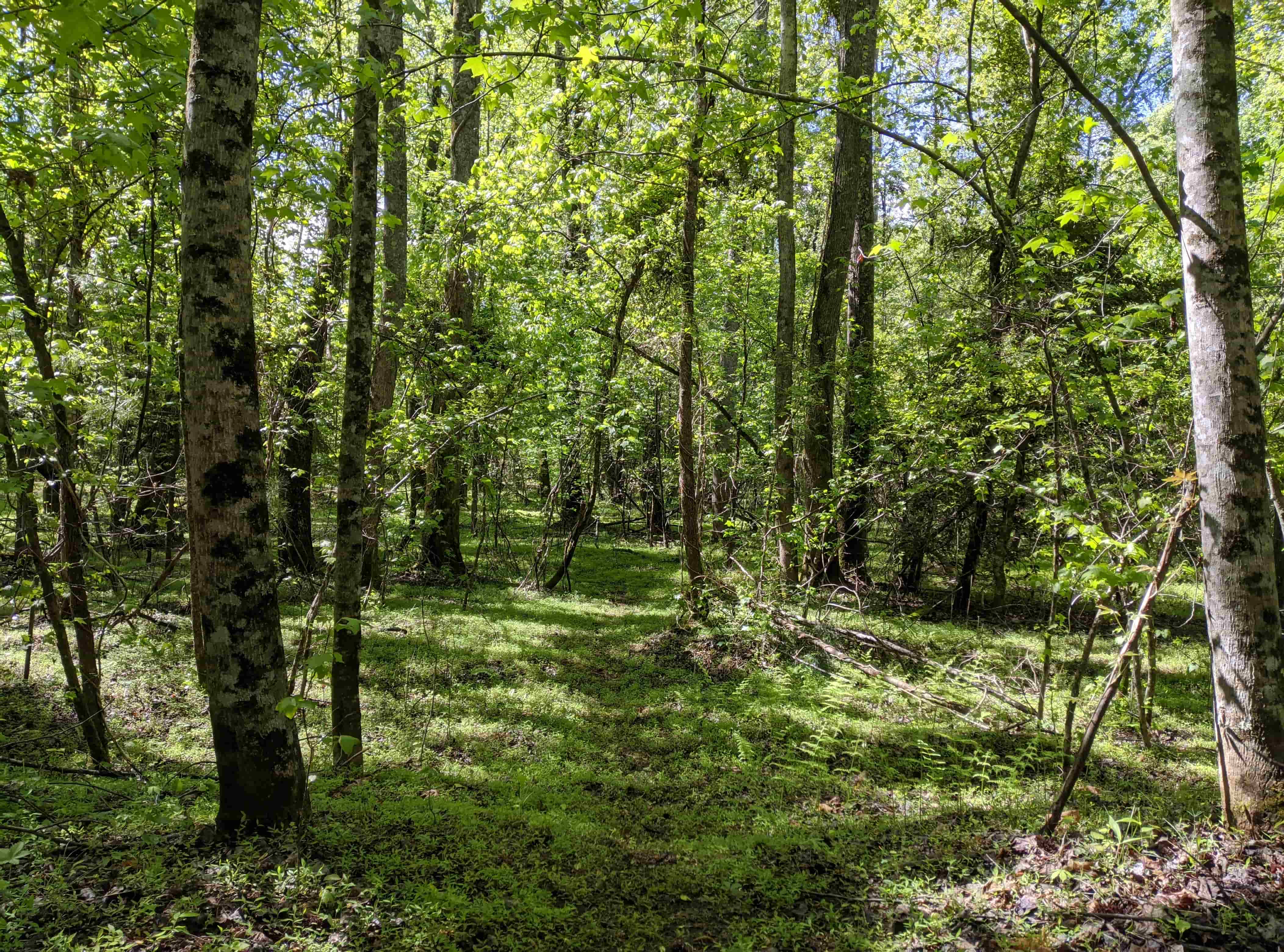
Pink
Easy Trail
0.4 Miles
Wooded trail connecting Red to Greenway
Features a meadow often containing deer and other wildlife.
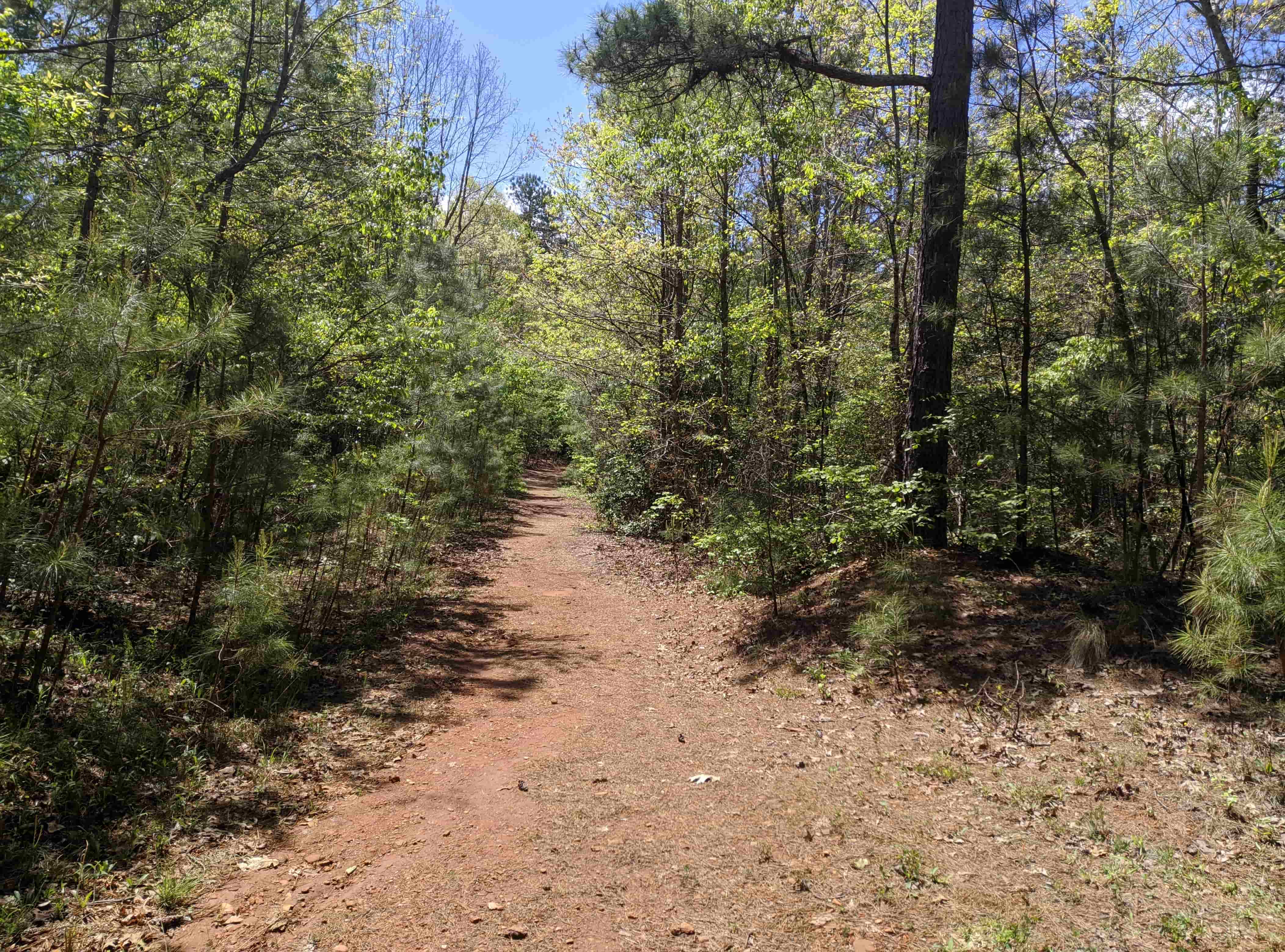
Orange
Easy Trail
0.2 Miles
Pink to Yellow Connector - Narrow
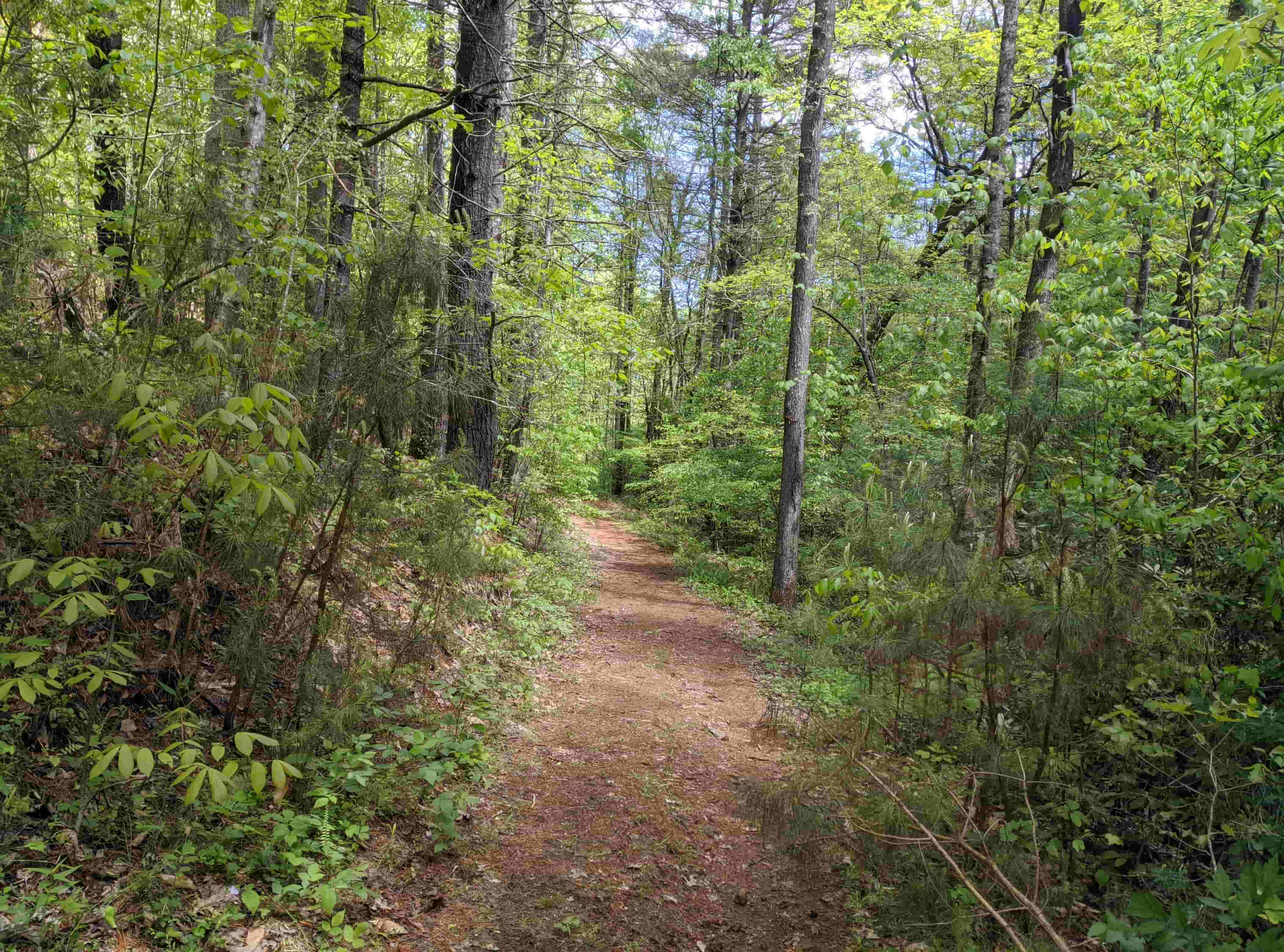
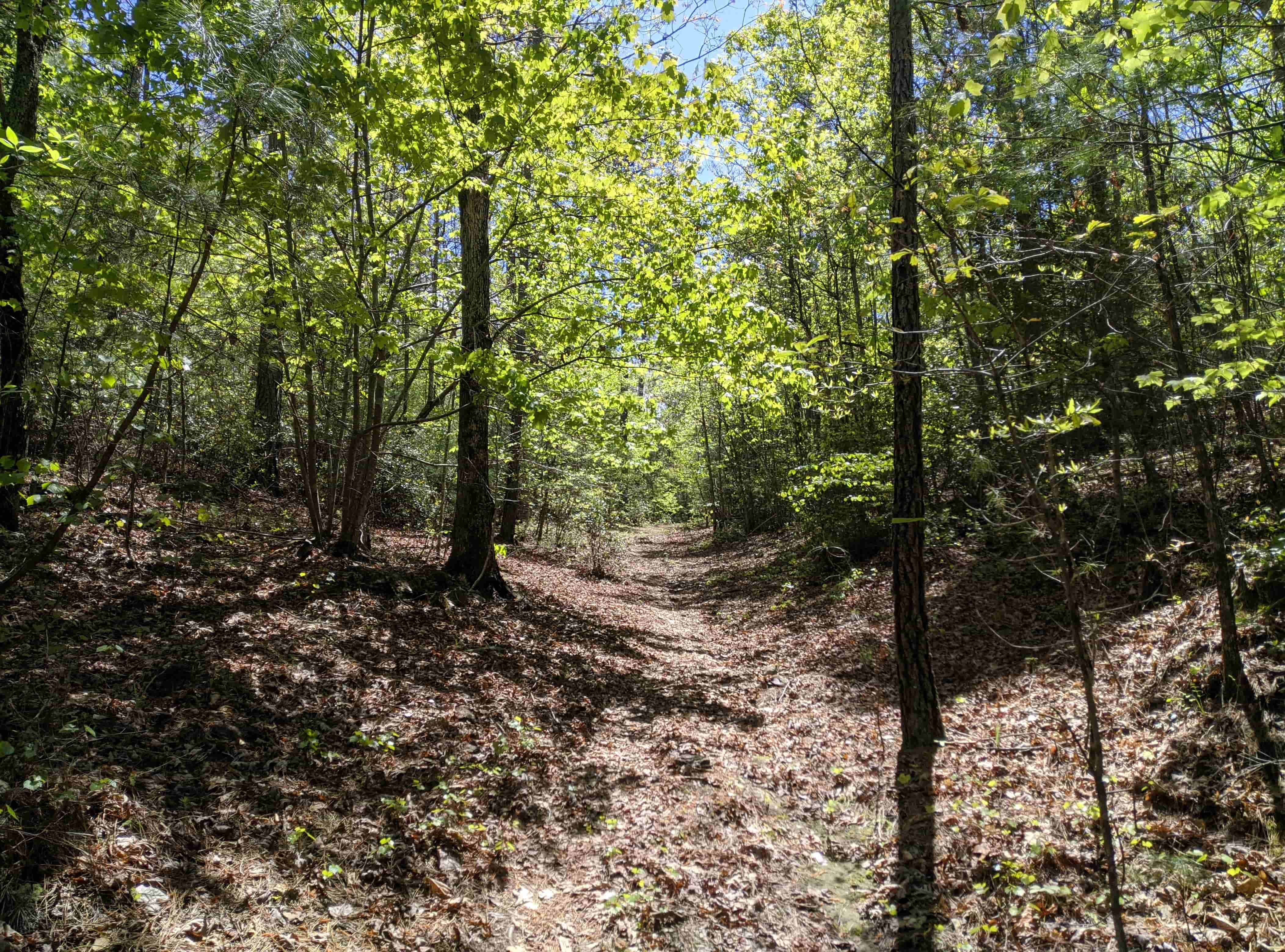
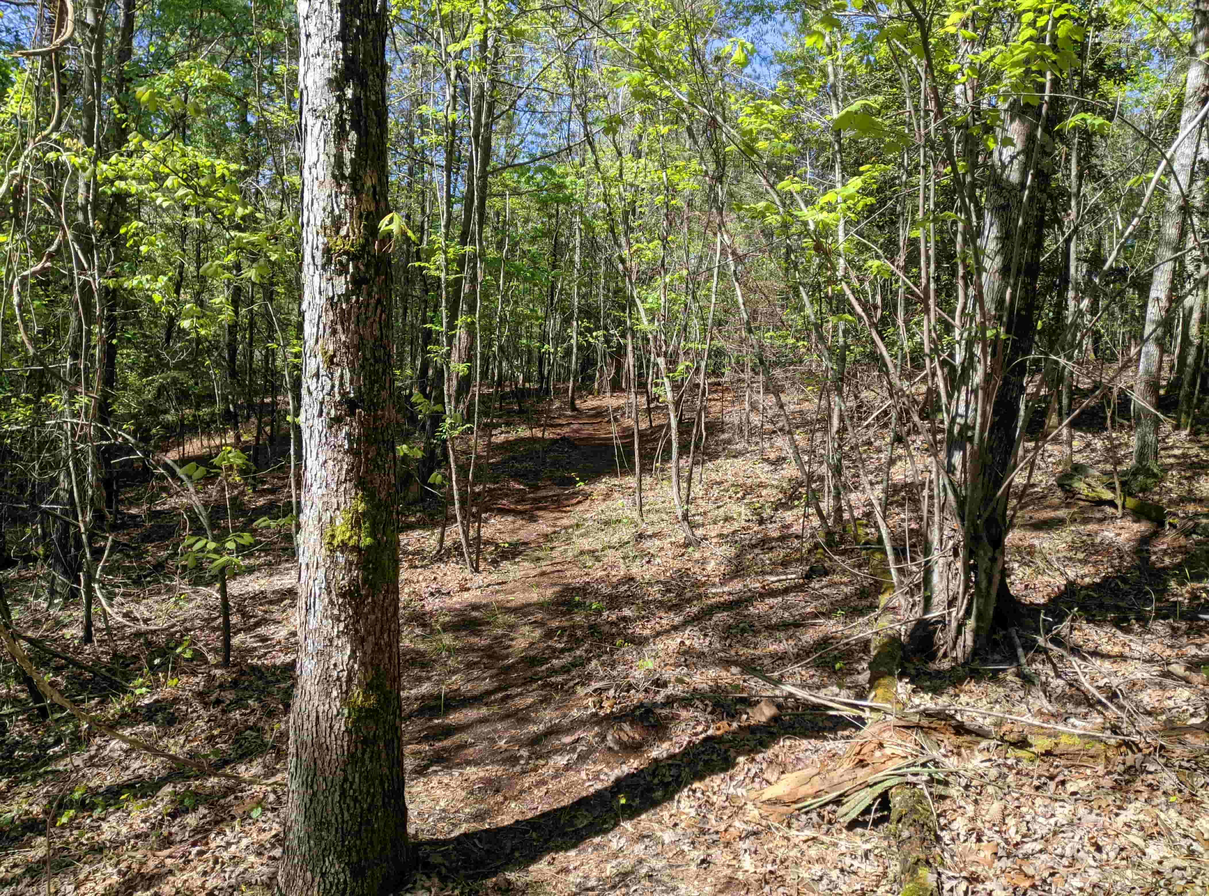
Hoyle Creek
Intermediate
1.4 Miles
This trail runs from the beginning of red all the way to the start of Lovelady Road
It takes you along Hoyle Creek for the majority of the trail
It can be one of the narrower trails in places
Common to see deer or beavers by the creek
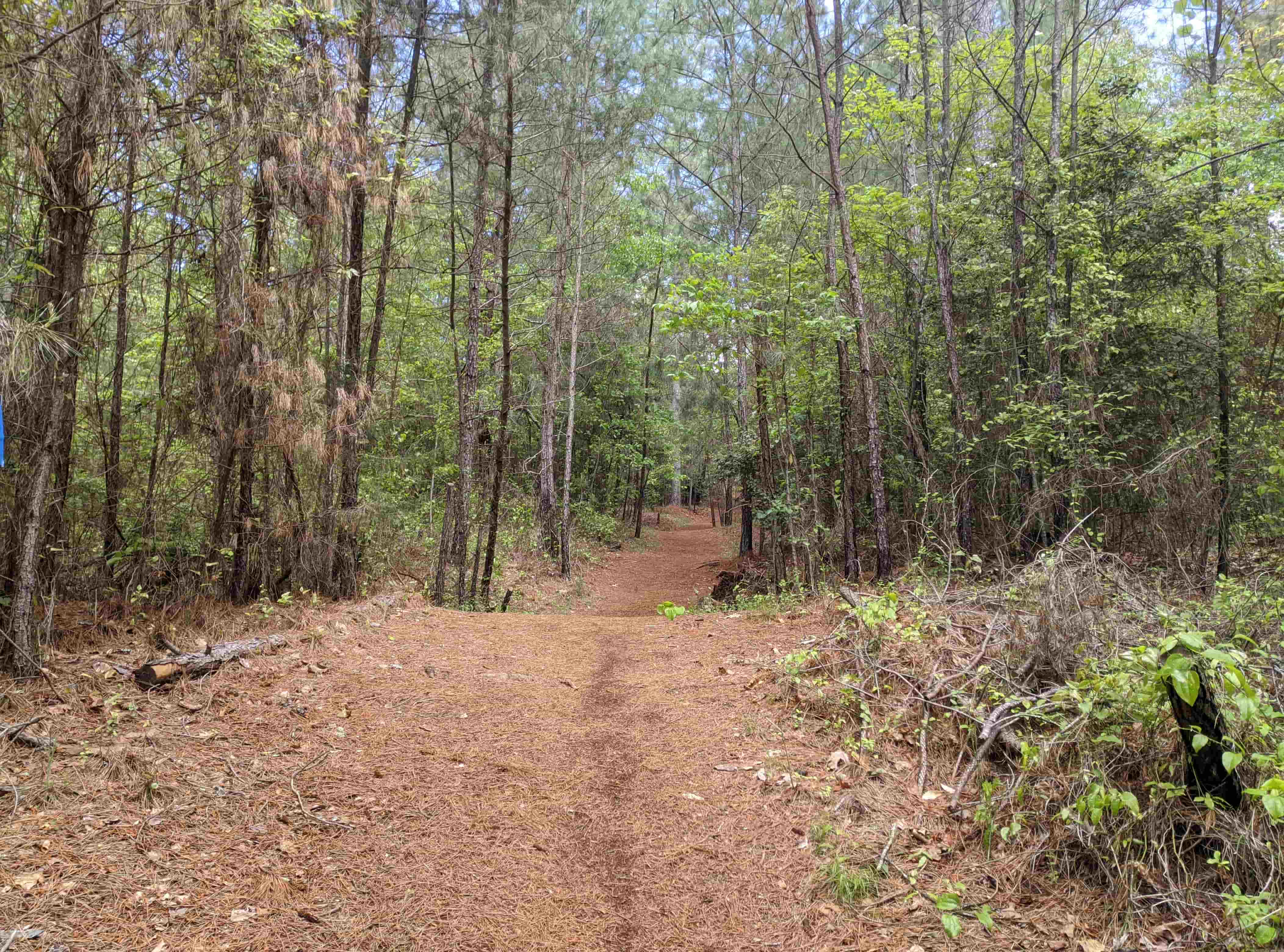
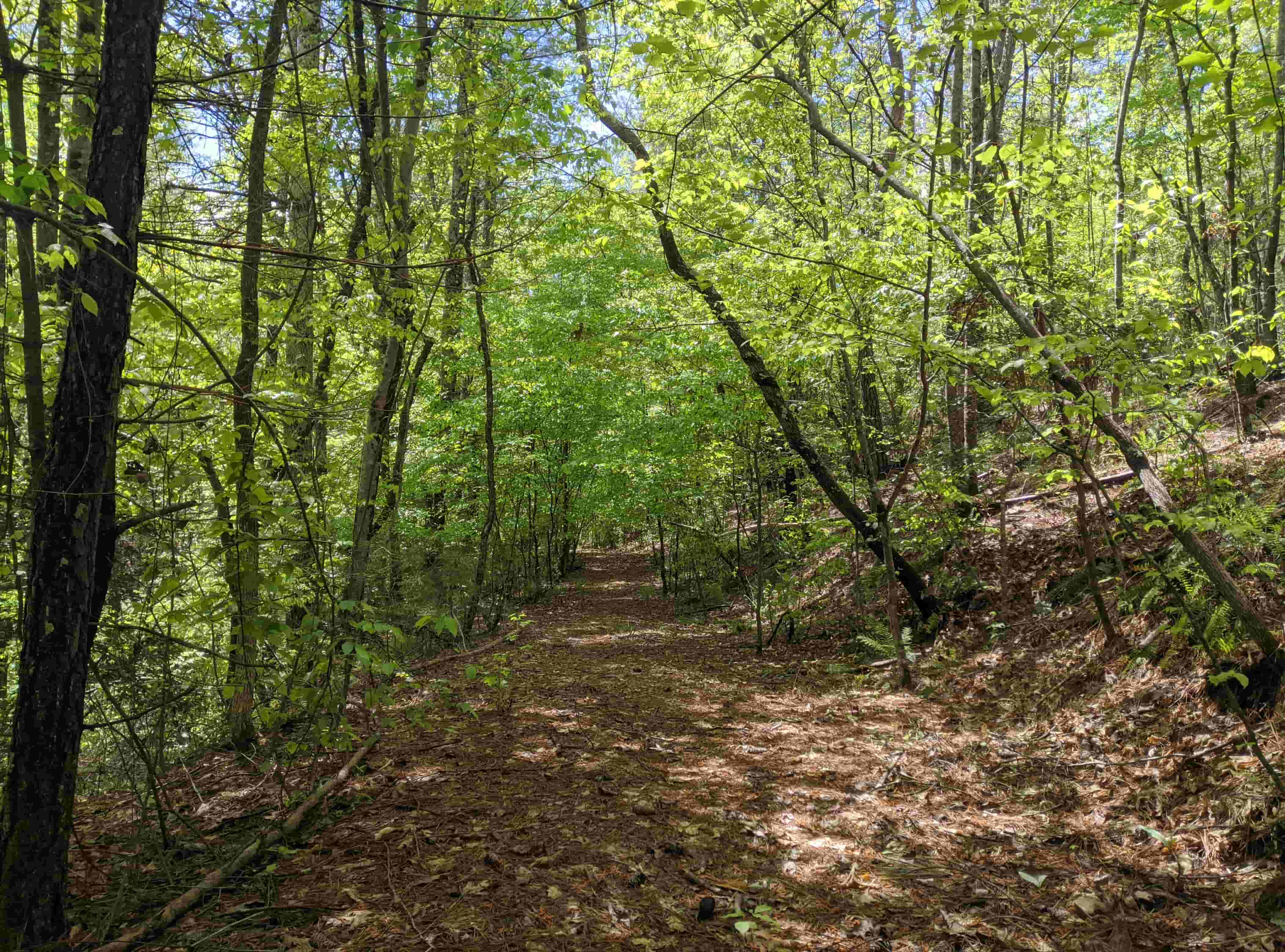
Outer Creek Connector
Intermediate
0.5 Miles
Connects from Hoyle Creek up to Red
Does require you to cross a small creek
Recommended to take in conjuction with Hoyle Creek from red
Short Creek Connector
Easy Trail
0.3 Miles
Connects from Hoyle Creek to Red
Same purpose as Outer Creek but this is shorter and easier.
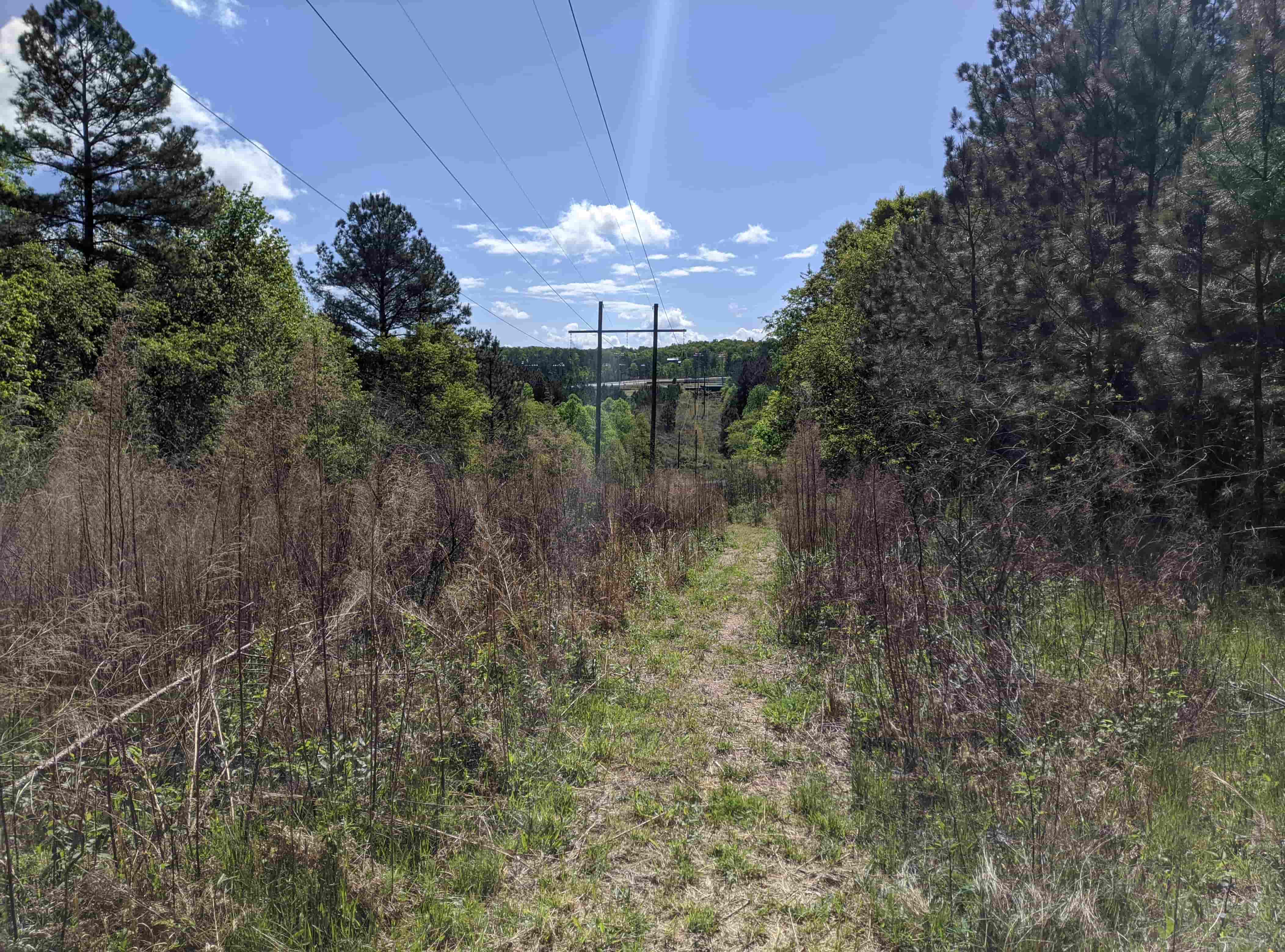
Power Lines
Not recommend
0.1 Miles
A landmark that you can walk and connect to the short creek connector
Steep and grass can be tall
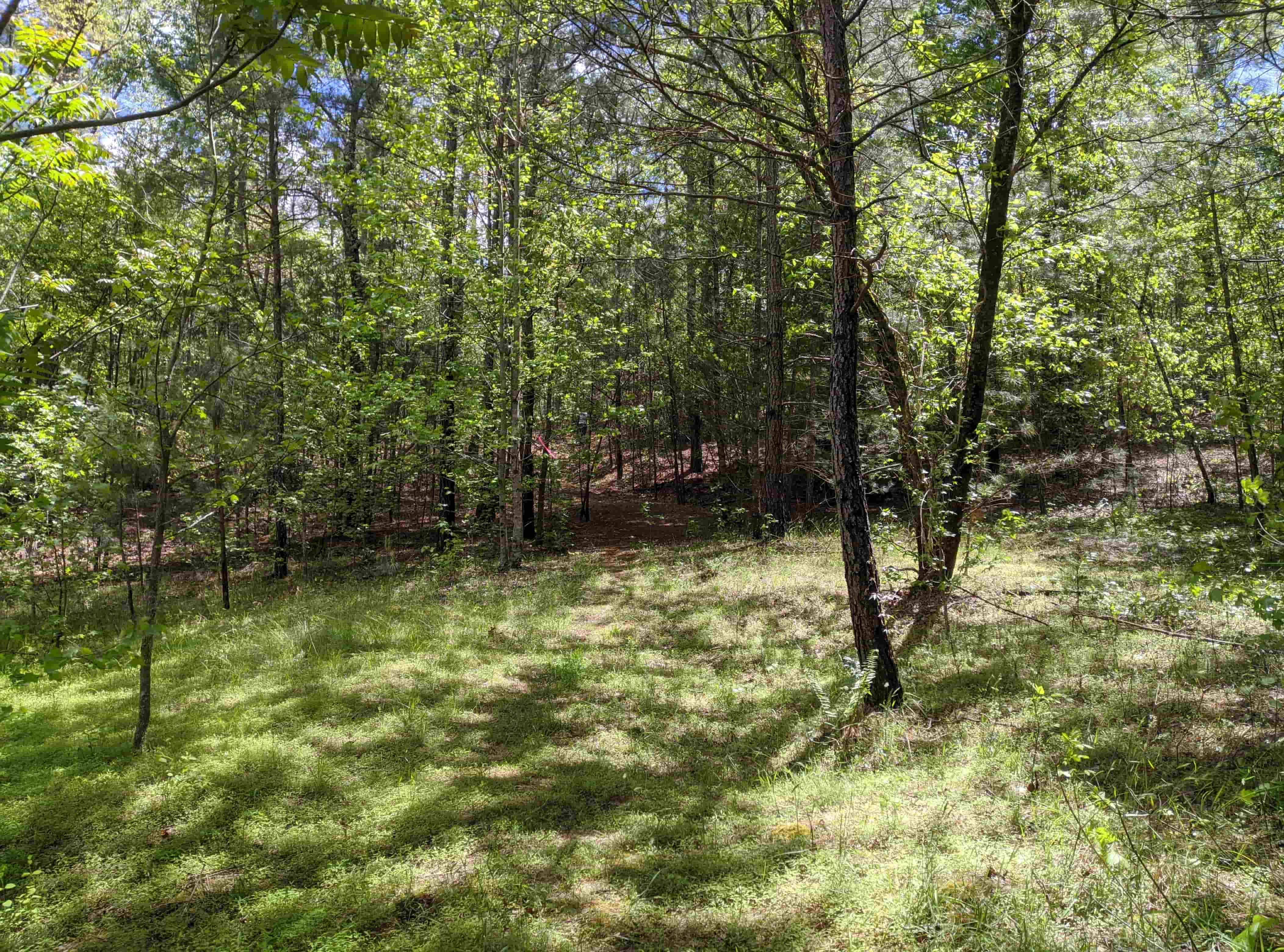
Green Diagonal
Easy Trail
0.15 Miles
Takes you from Green to Red quickly
Open field, wide and level