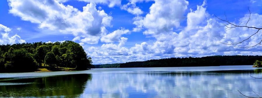
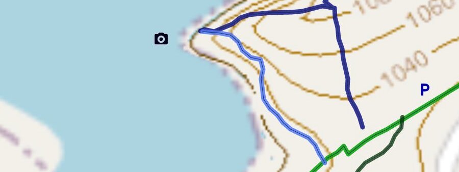
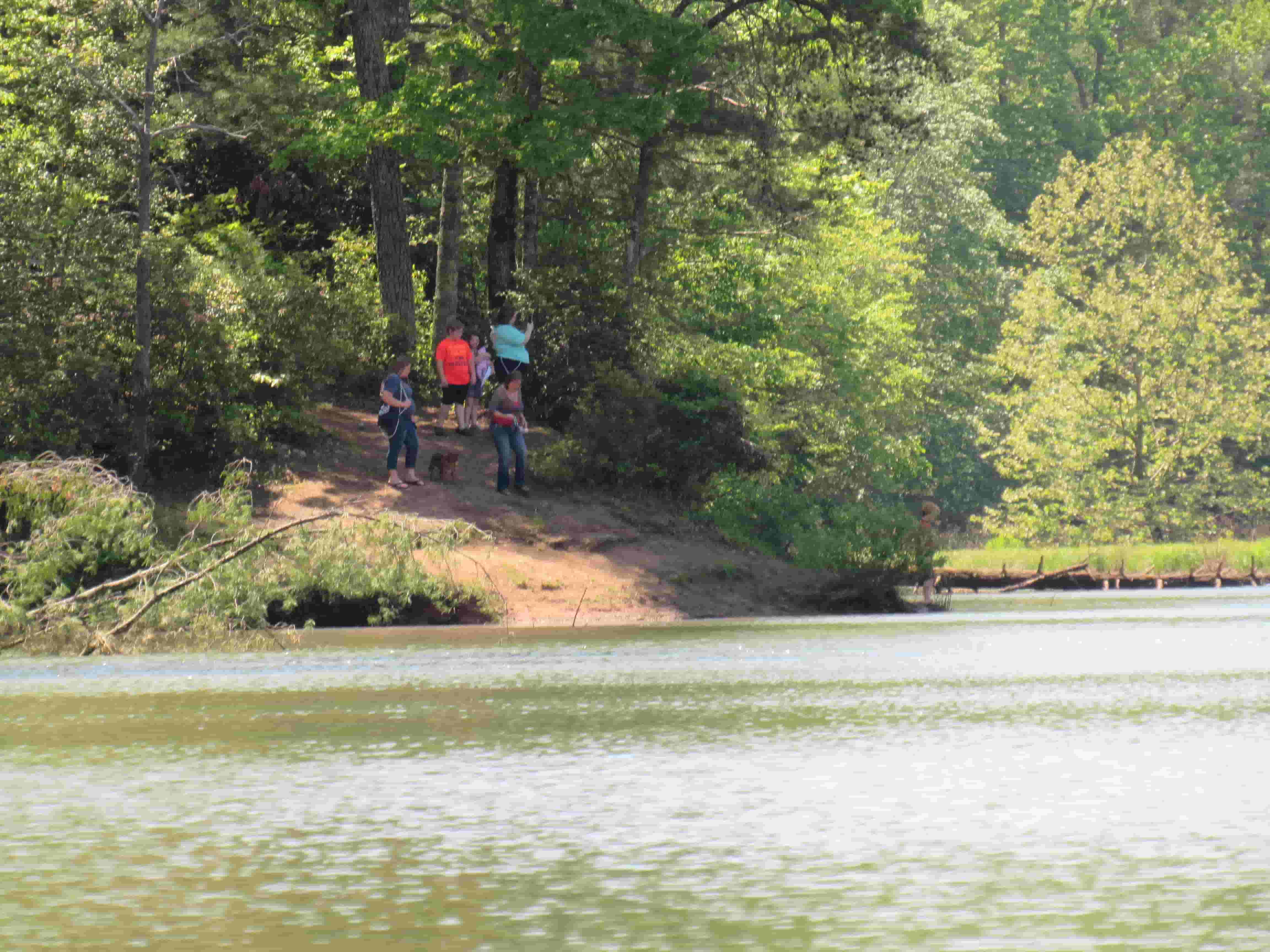
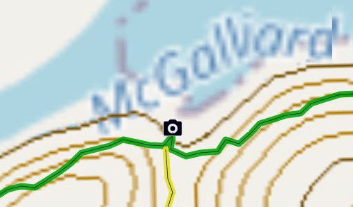
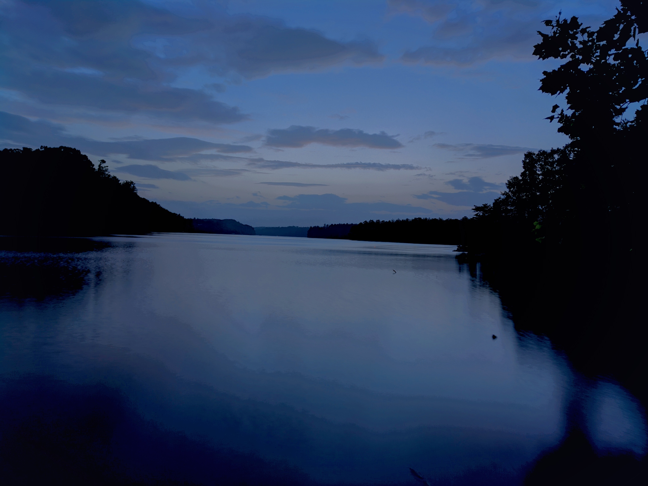
Meditation Point
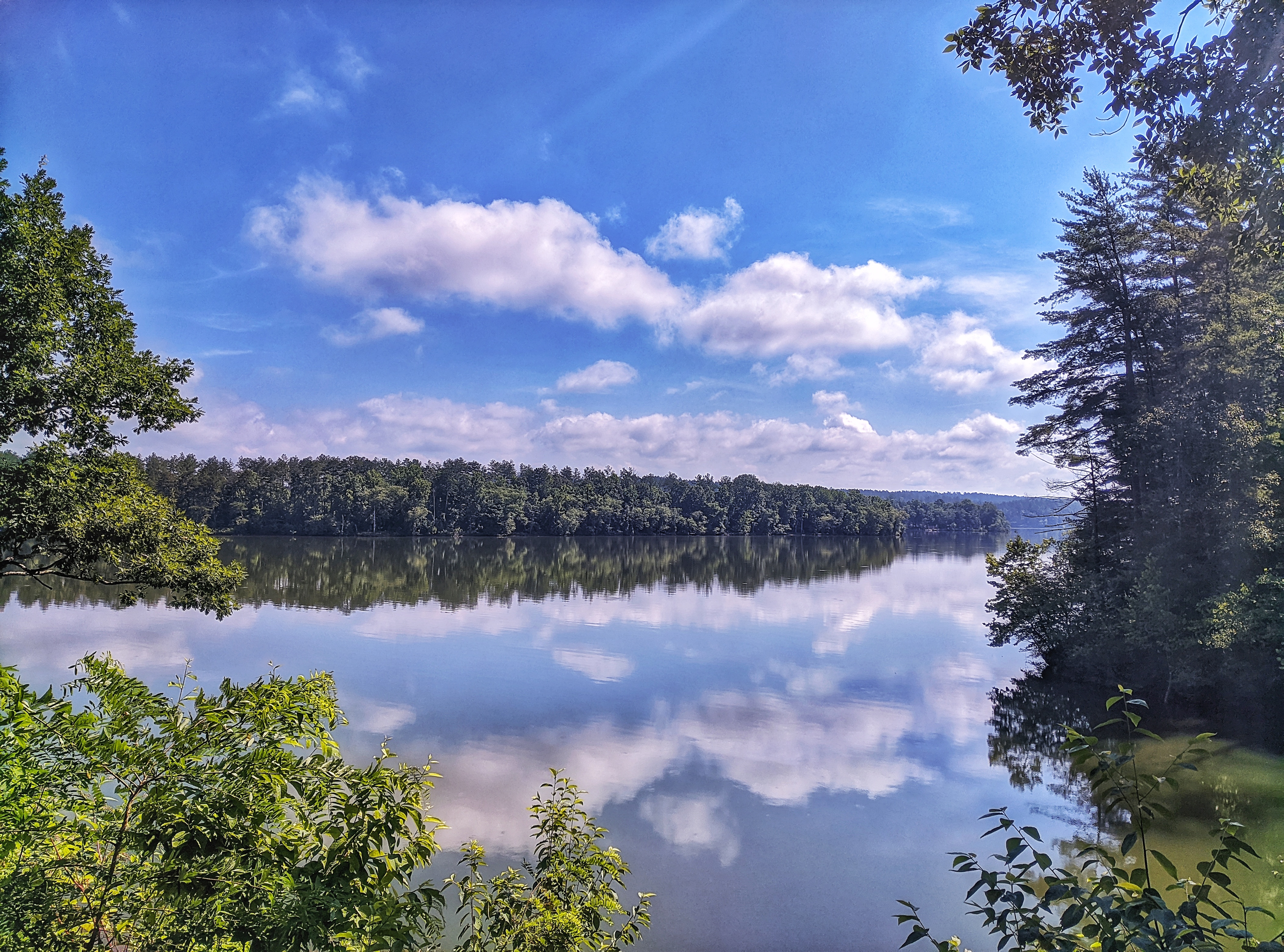
Amazing Lake View with Table Rock and Hawksbill Mountains
Amazing Sunsets
Future Wildlife Viewing Platform
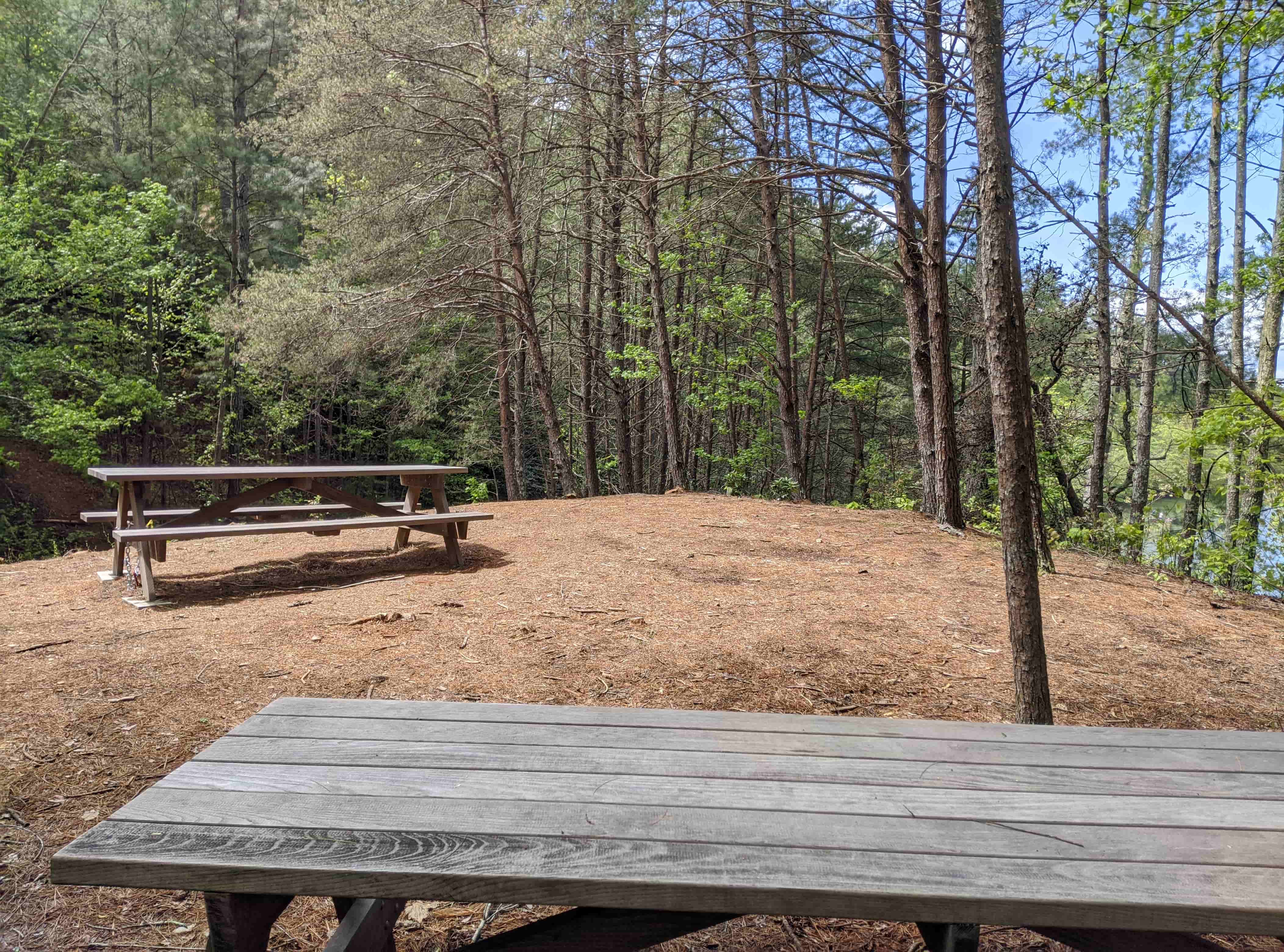
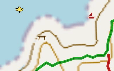
Picnic Area
4 Picnic Tables were built by Kellex Seating.
Tables offer different scenery - either the greenway and garden or lake
Fish and otters are often spotted at the bottom table.
Fox Den
Easy Trail down to the water - 0.05 Miles
About 70 years ago, young men visited this spot to fish, sit by the fire and have a Pepsi. They would come in what is now Laurel Rd.
A great blue heron is often spotted along with other birds including eggrets, and otters. To see the Blue Heron visit my wildlife page.
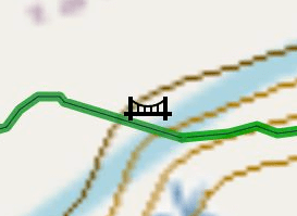
Future Bridge
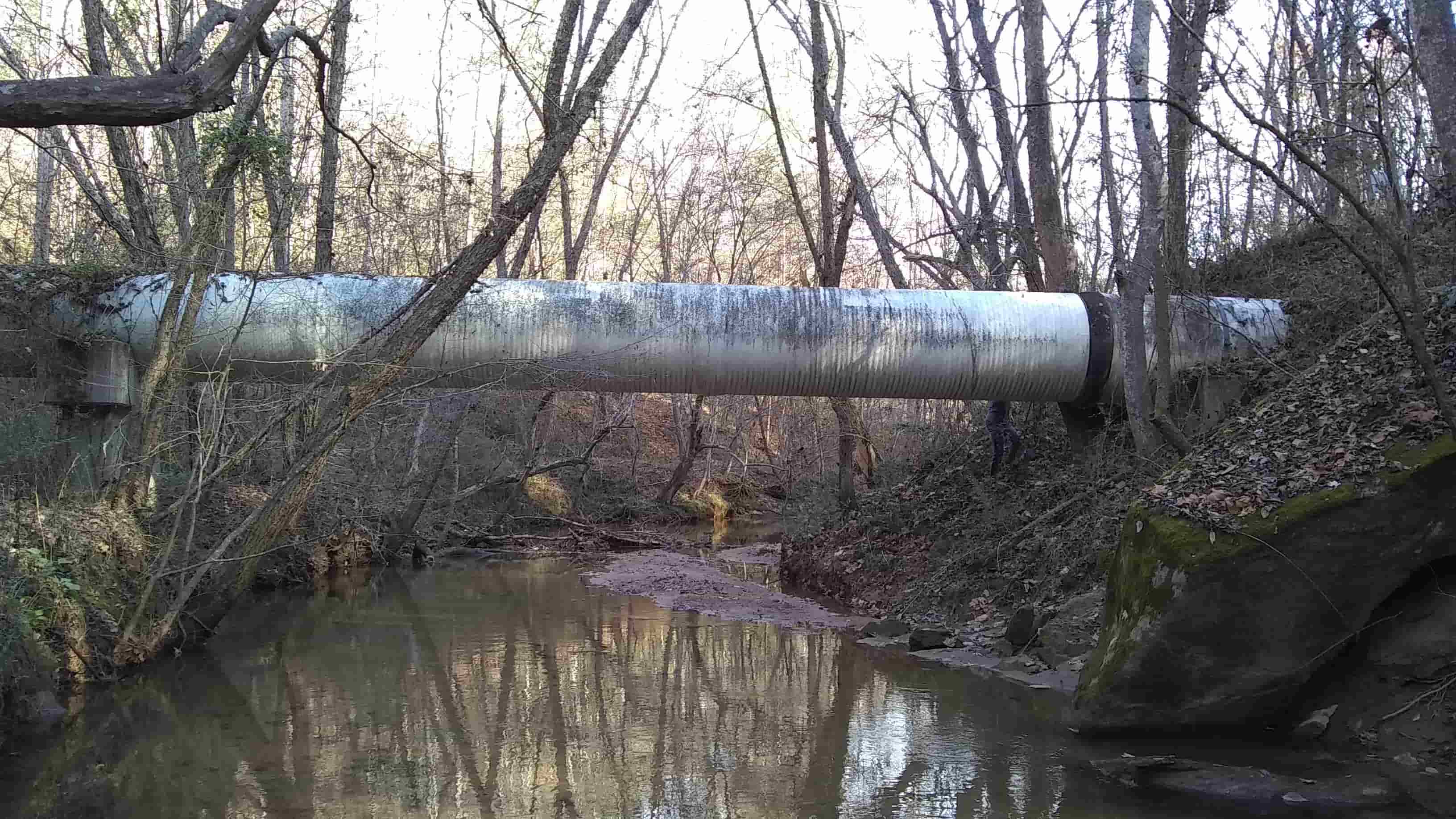
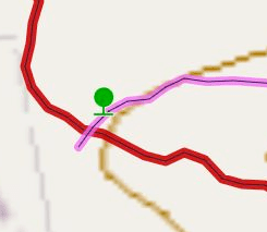
This Pipe is the dividing line between the VLP Greenway and McGalliard Falls Greenway.
A 150 foot suspension bridge will be built across the creek to connect the two parks.
Fundraising is underway to take the greenway all the way to McGalliard Falls Park.
Red Meadow
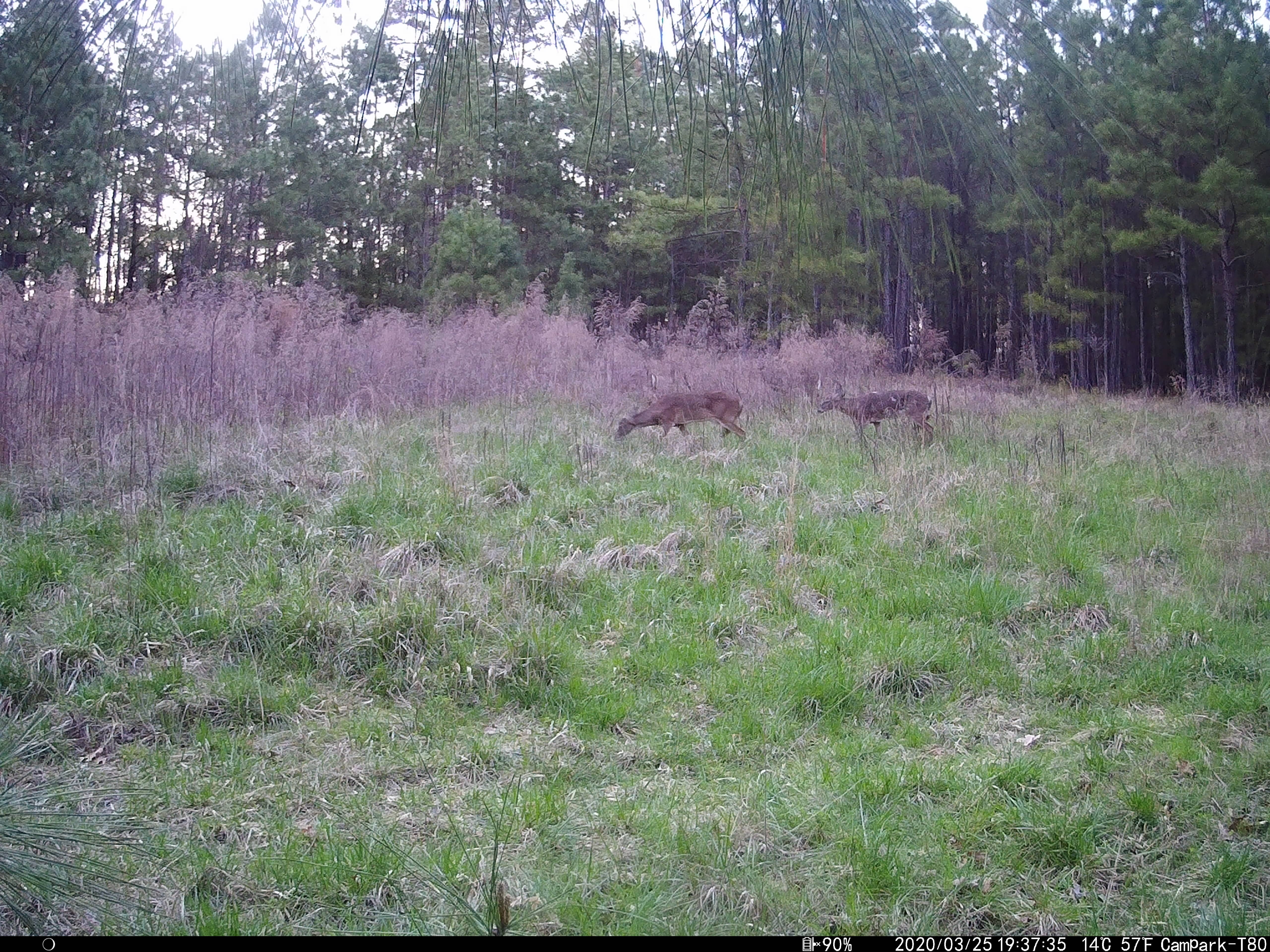
This meadow, inbetween the Red and Pink trail often contains deer or rabbits.
Beaver Dams
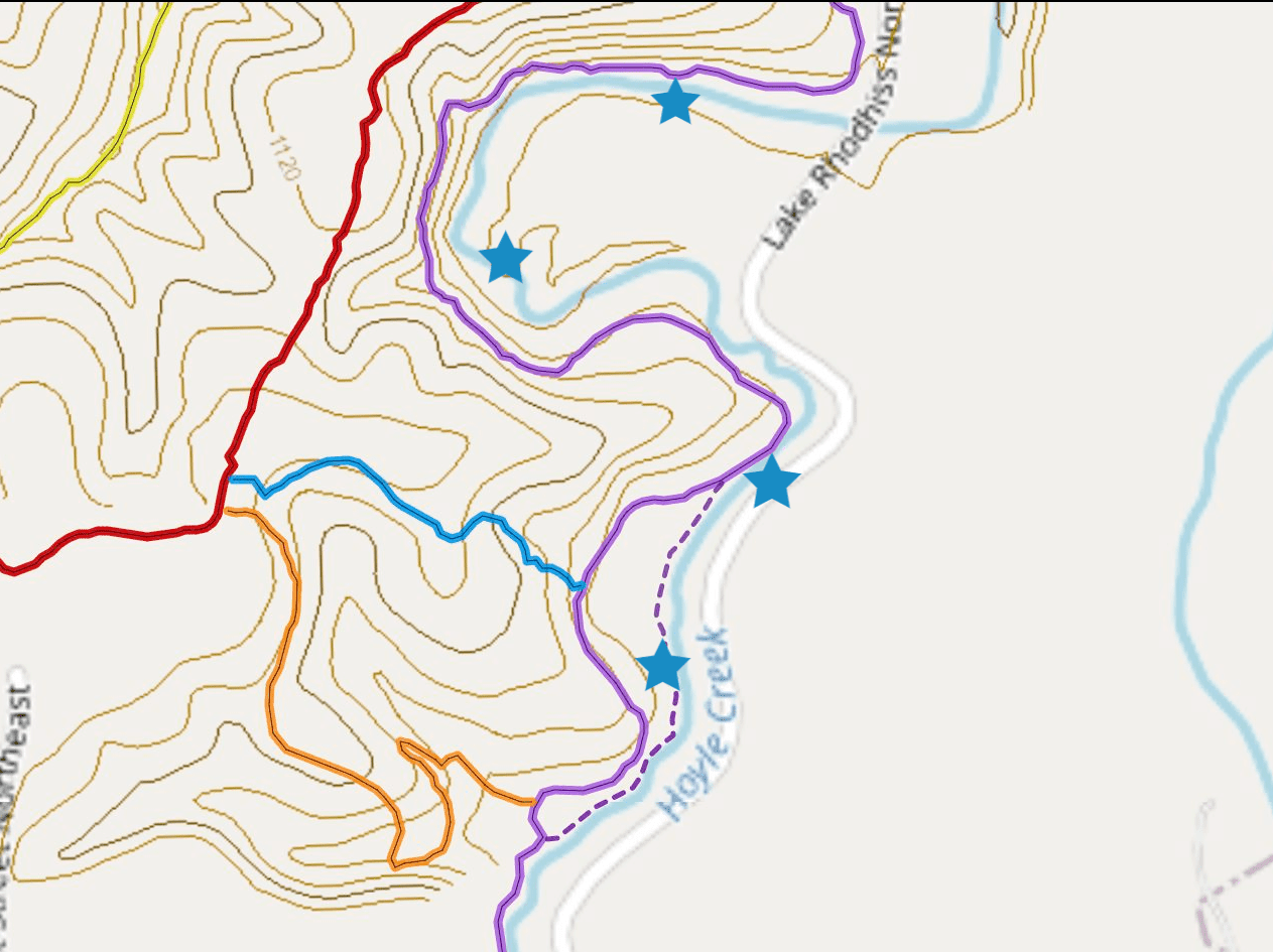
Along the hoyle creek trail Beavers are suspected to have multiple dams.
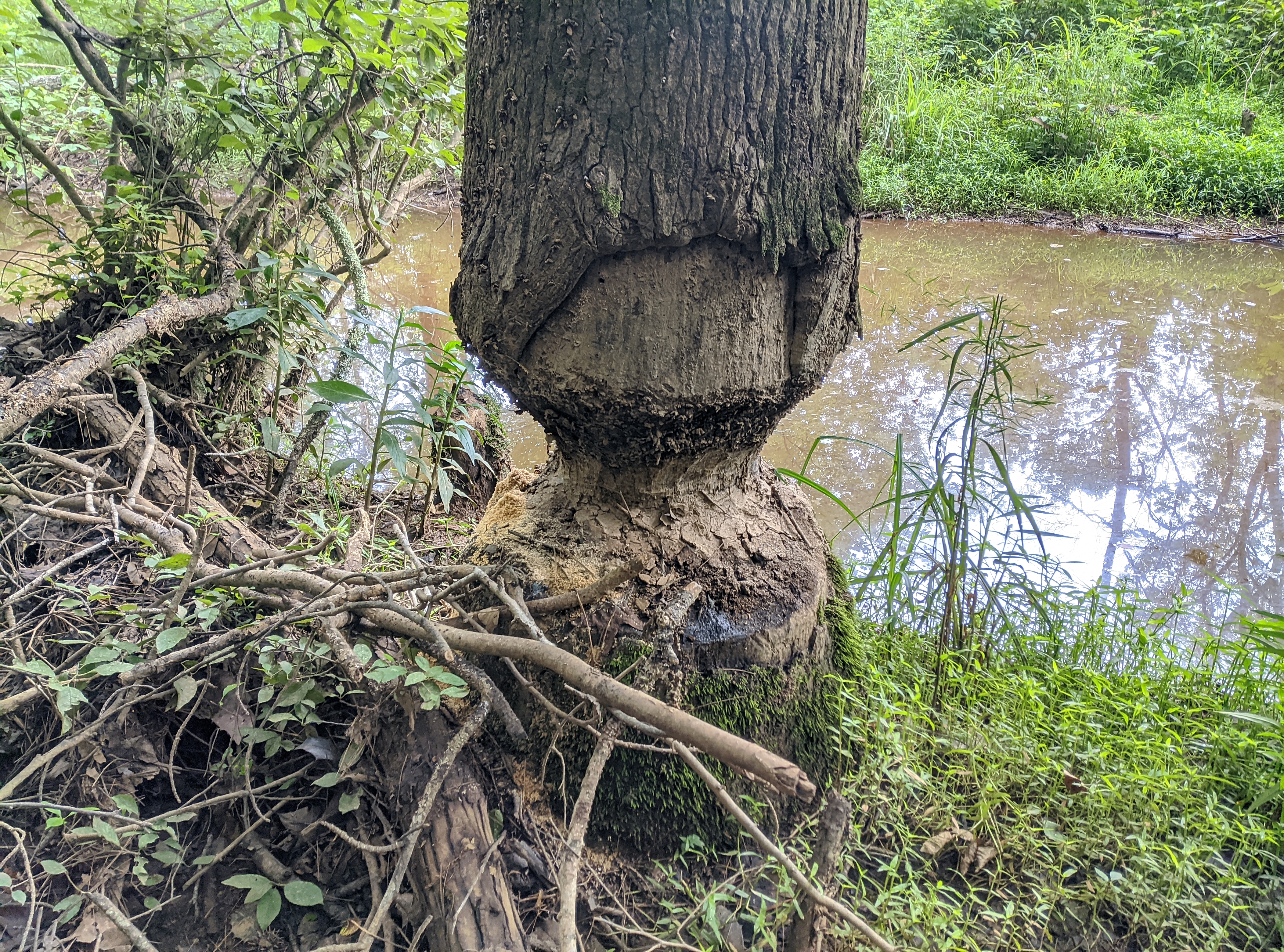
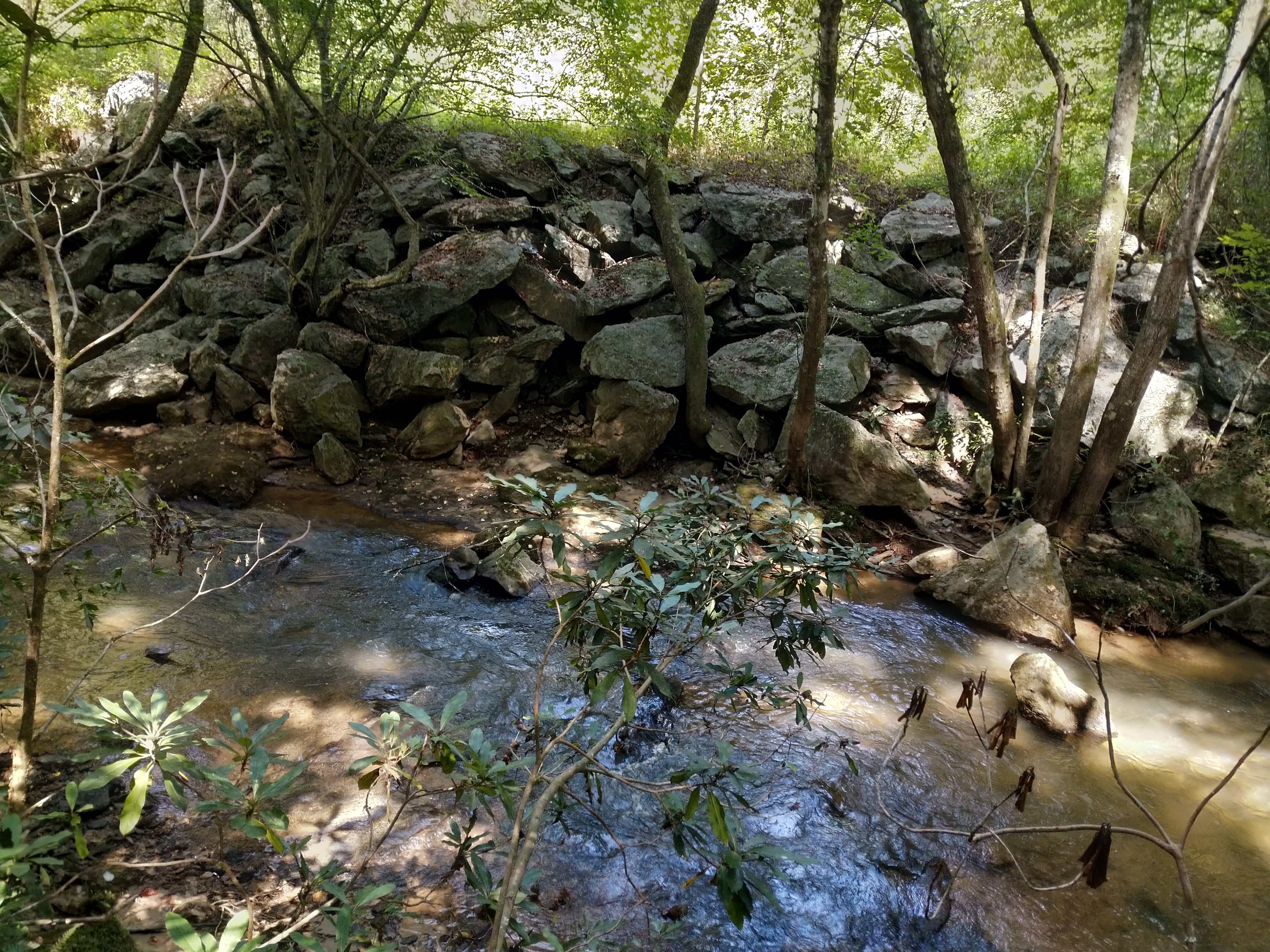
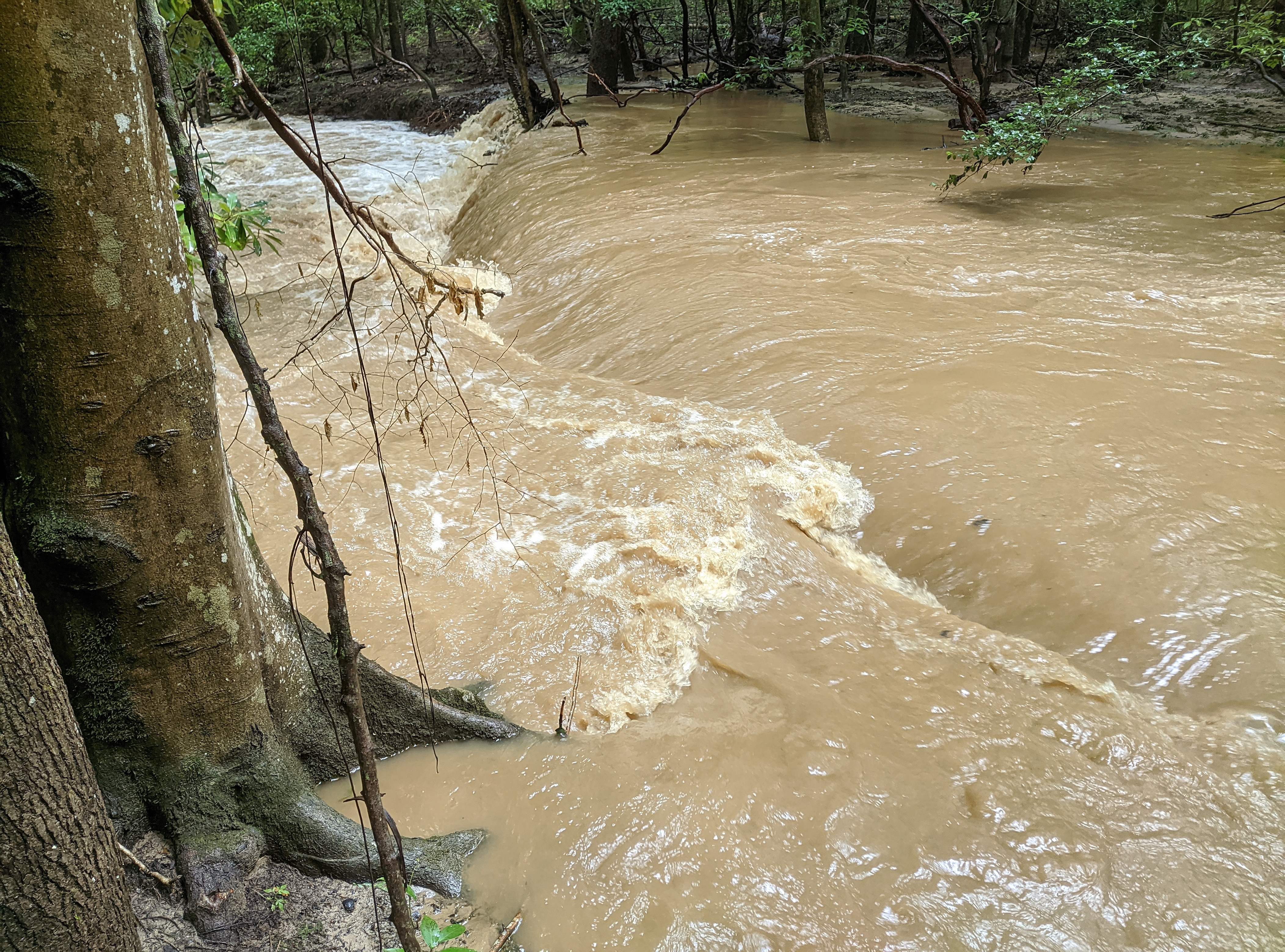
This picture below is thought to be a beaver dam.
Along the Hoyle Creek trail there are many cone shaped cuts from beavers.
Lake Rhodhiss
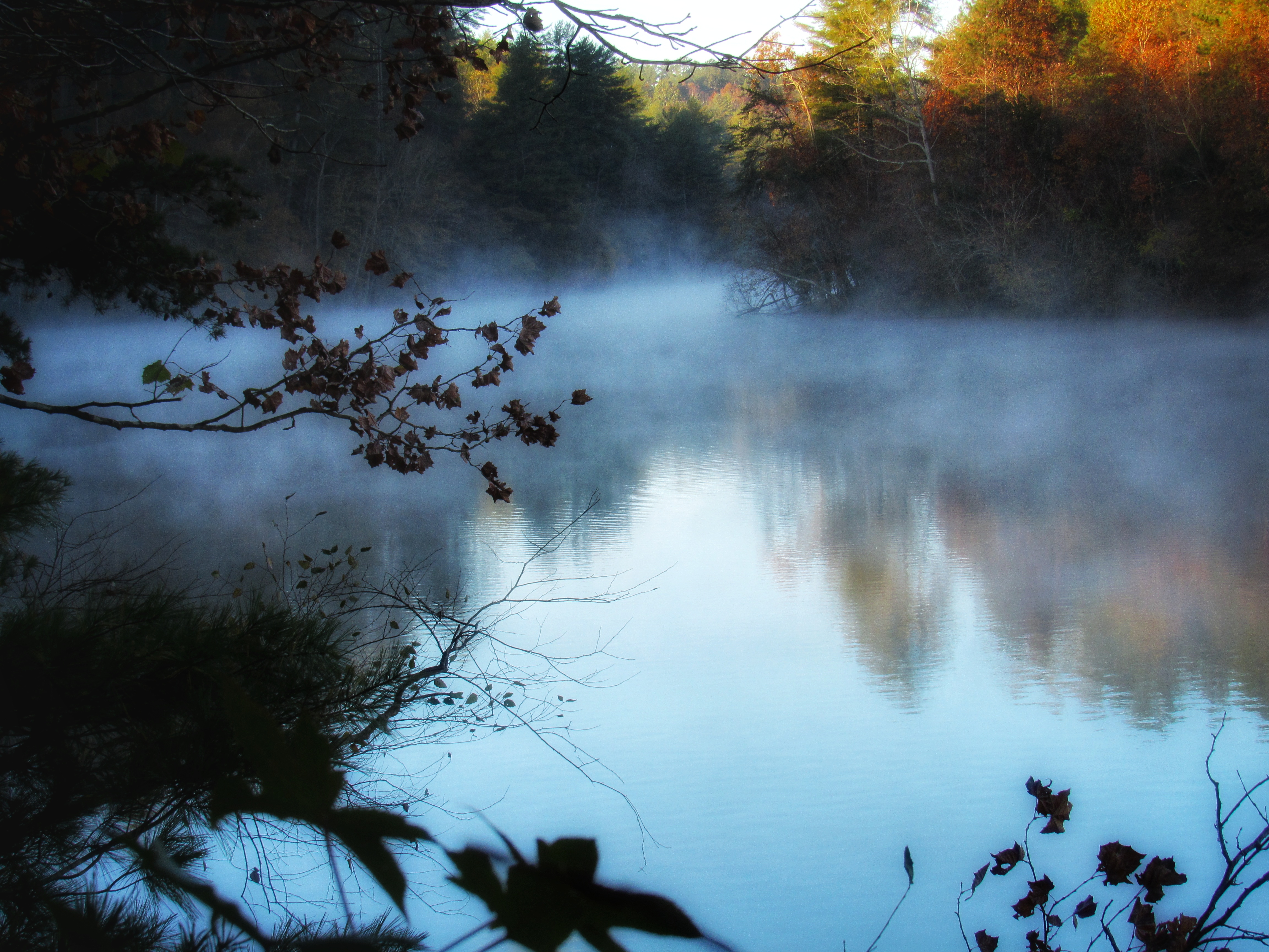
Lake Rhodhiss is a part of the Catawba River.
Between the Meditation Point and the Suspension Bridge is a large cove with little wake.
McGalliard Creek drains into Lake Rhodhiss.
You can check the water level on the Duke Energy site or see the history of the lake level over several years.
Hoyle Creek and Amenities
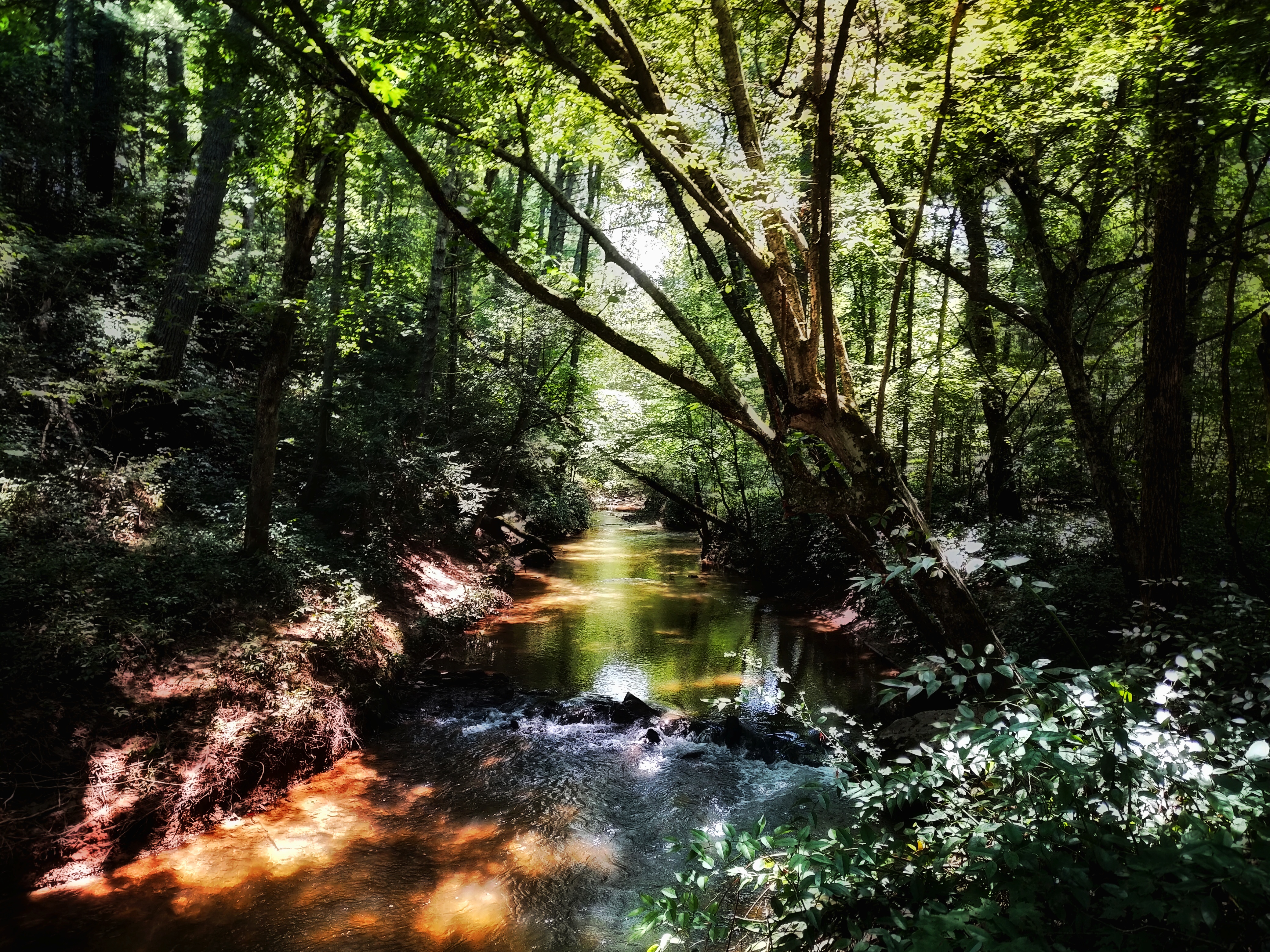
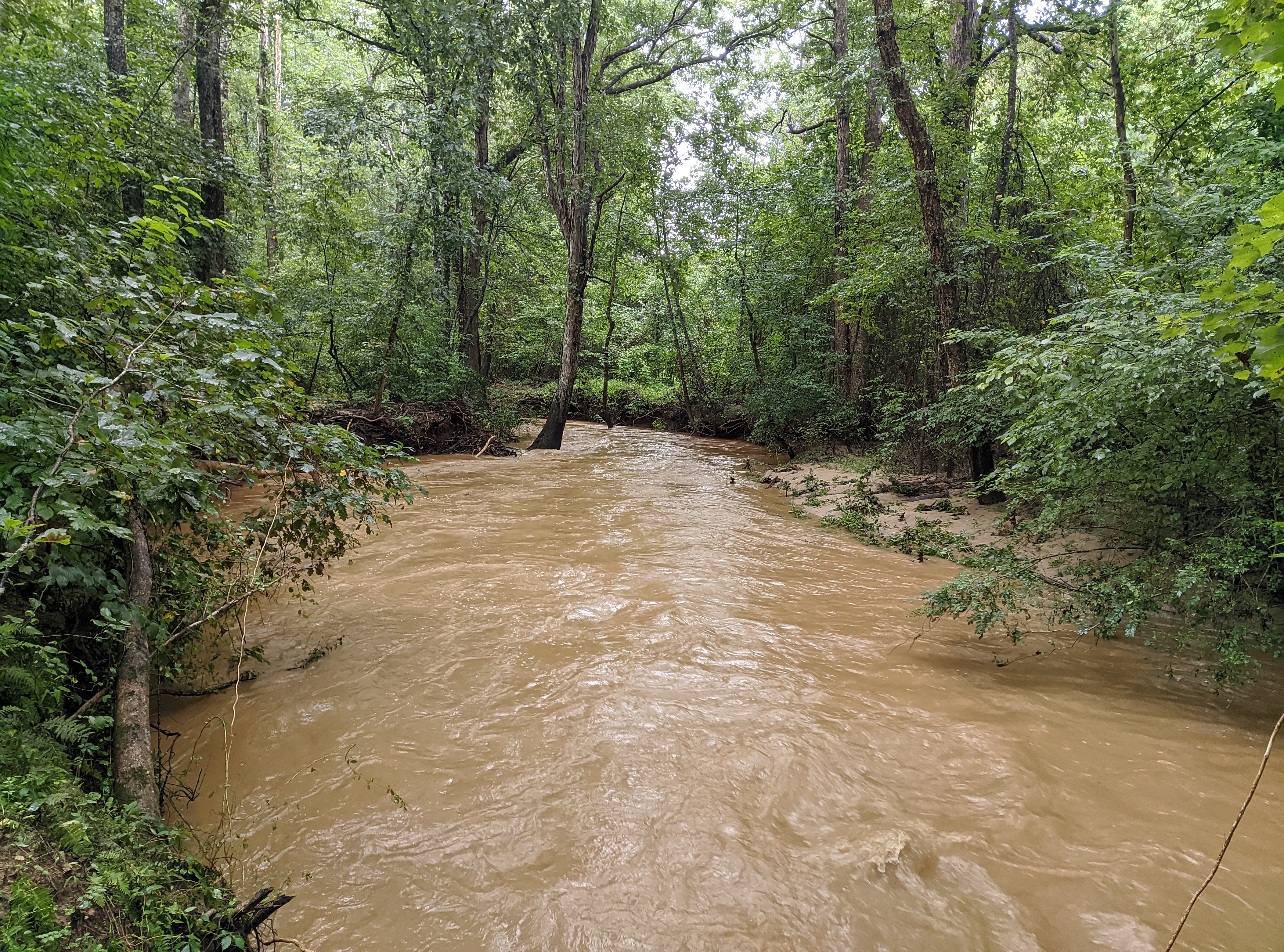
Hoyle Creek (HC) is a creek running from Exit 111 to Childrens Park to Lakeside Park into a Cove in Lake Rhodhiss by Draughn High School.
Lakeside Park's Hoyle Creek Trail runs from Lovelady Rd and along Lake Rhodhiss Drive and stops where the creek goes under the road. You can continue following Hoyle Creek on the Draughn High School Trail System and visit other creeks too.
Micol Creek merges into Hoyle Creek along with the creek that runs along-side Outer Creek Connector.
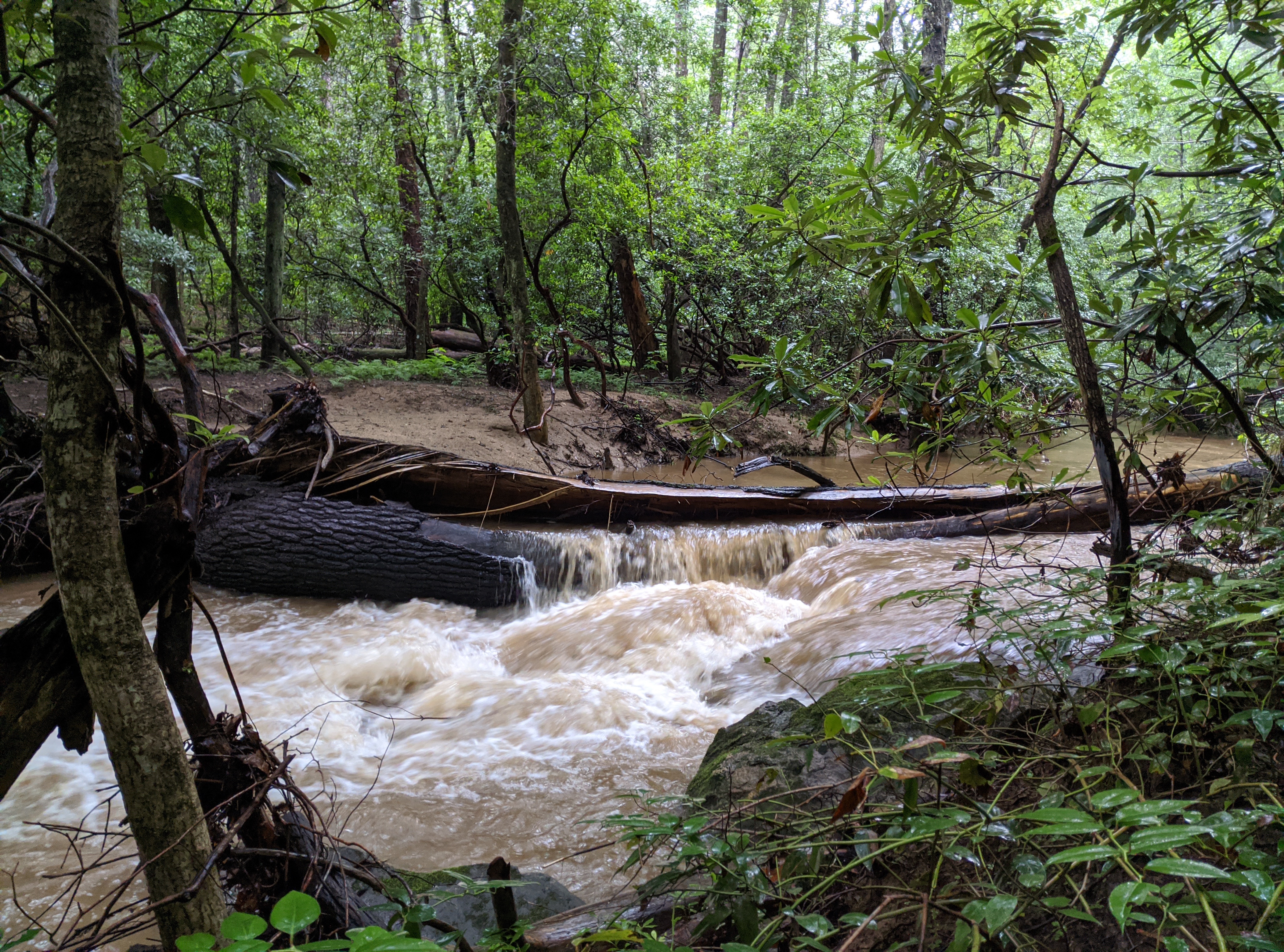
Hoyle Creek is known to have drastically different water levels throughout the year and rains raise it 6-10 feet.
Rock Overlook
This overlook along Hoyle Creek looks over Hoyle Creek from 100 feet up. There is a rock sitting area and a bench (in progress) looking down at the water.
Rest Area
This Rest area along Hoyle Creek has a picnic table, wooden seats and benches.
There is access to Hoyle Creek and Hobble Island below.
Creek Access
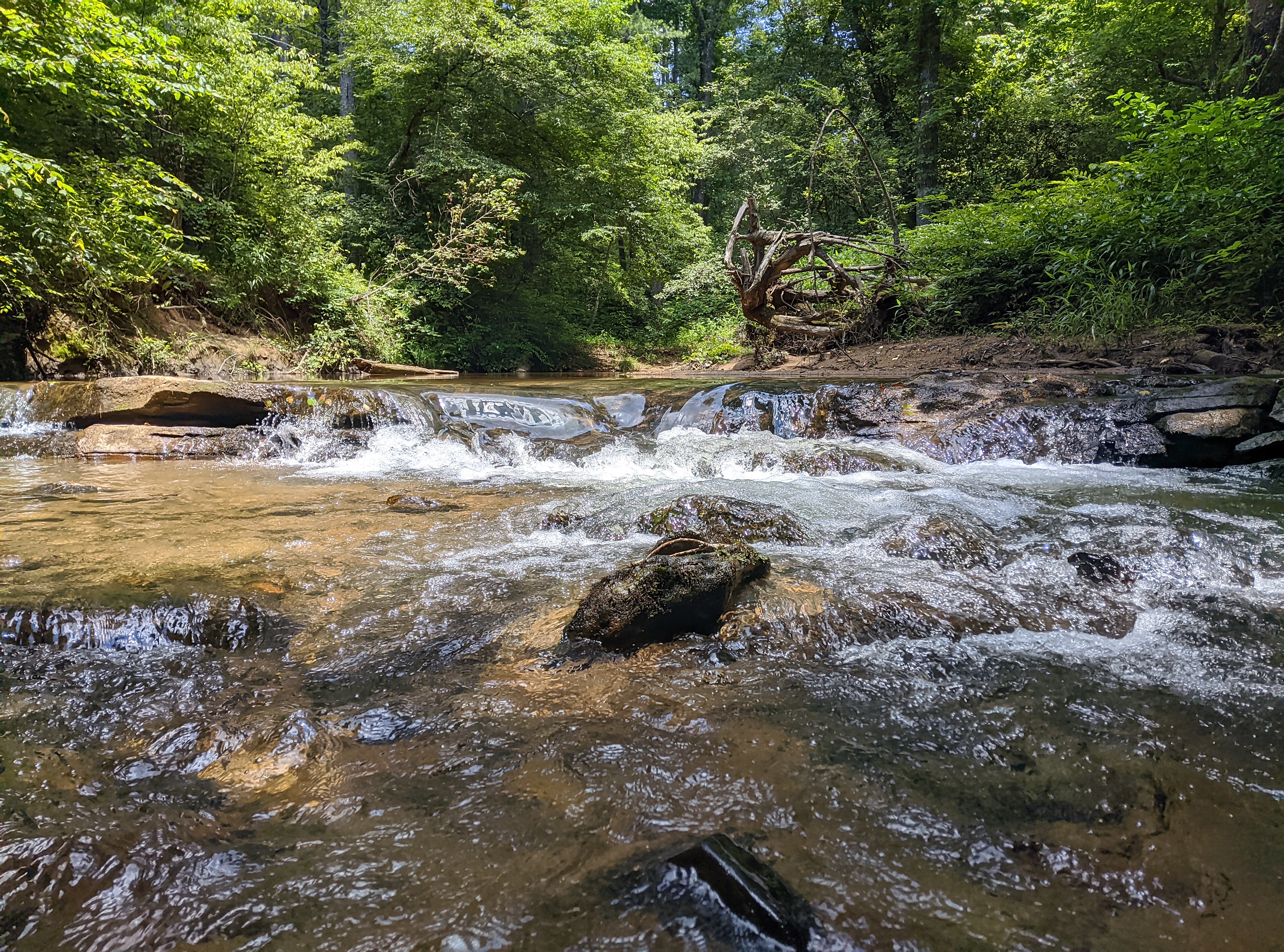
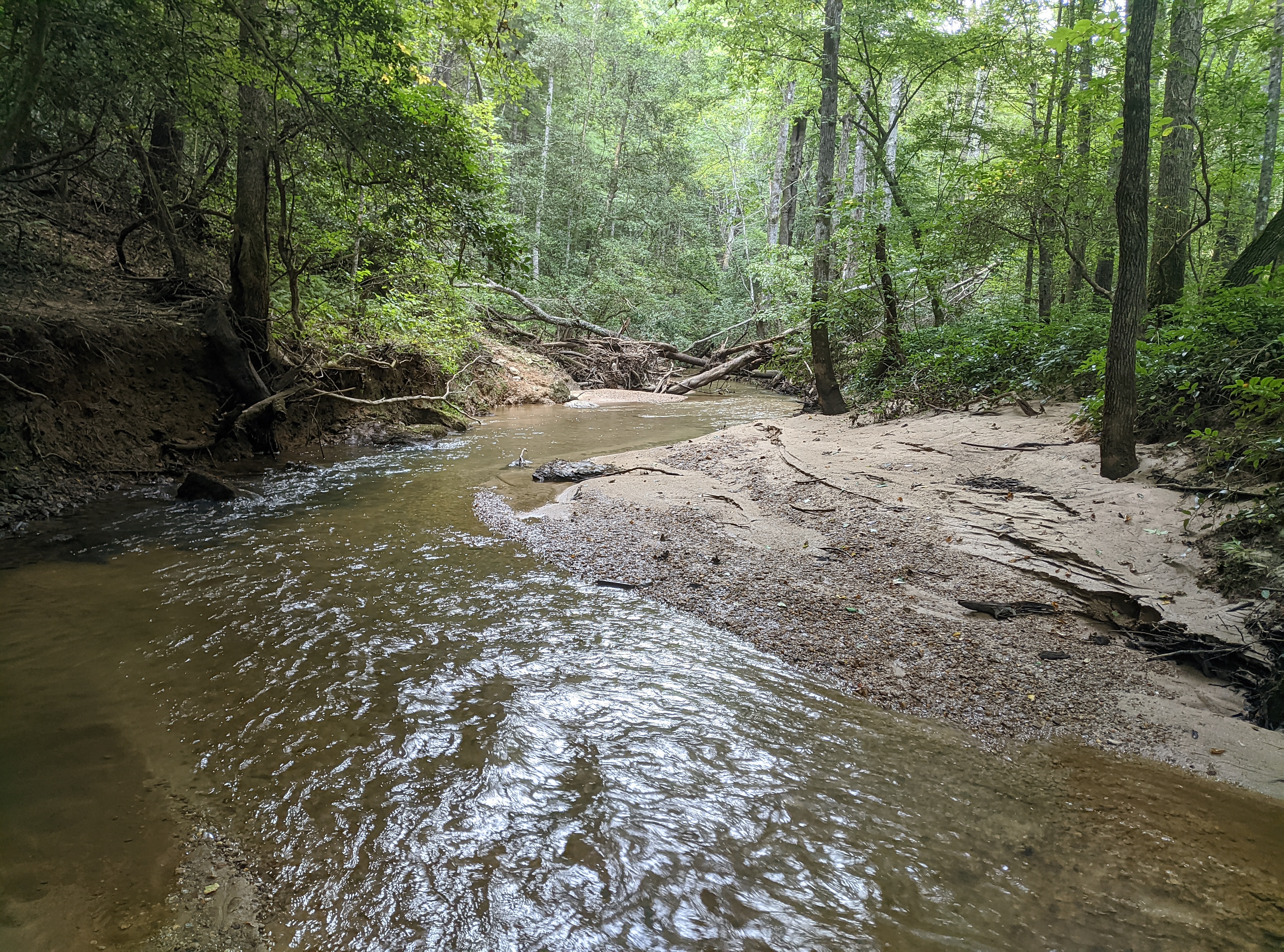
The best creek access is below the Hoyle Creek Rest Area. A trail will take you down to the water where there is a sandy beach on both sides of the creek.
You can access Hobble Island right across the water.
A bench is along the trail looking at a small waterfall (in progress).
Hobble Island
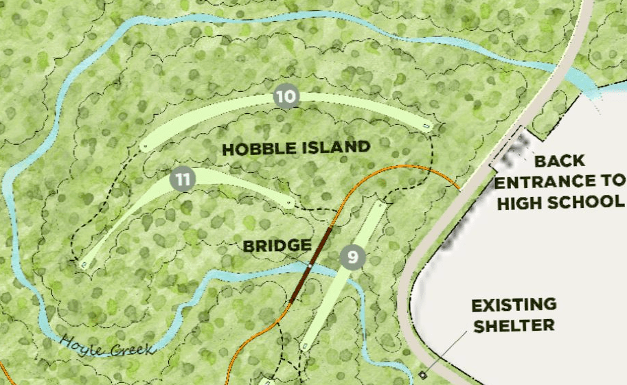
Hobble Island is a 15 Acre section of VLP surrounded by Hoyle Creek and Lake Rhodhiss Dr.
The best entrance to Hobble Island is from the Hoyle Creek Rest Area / Creek Access
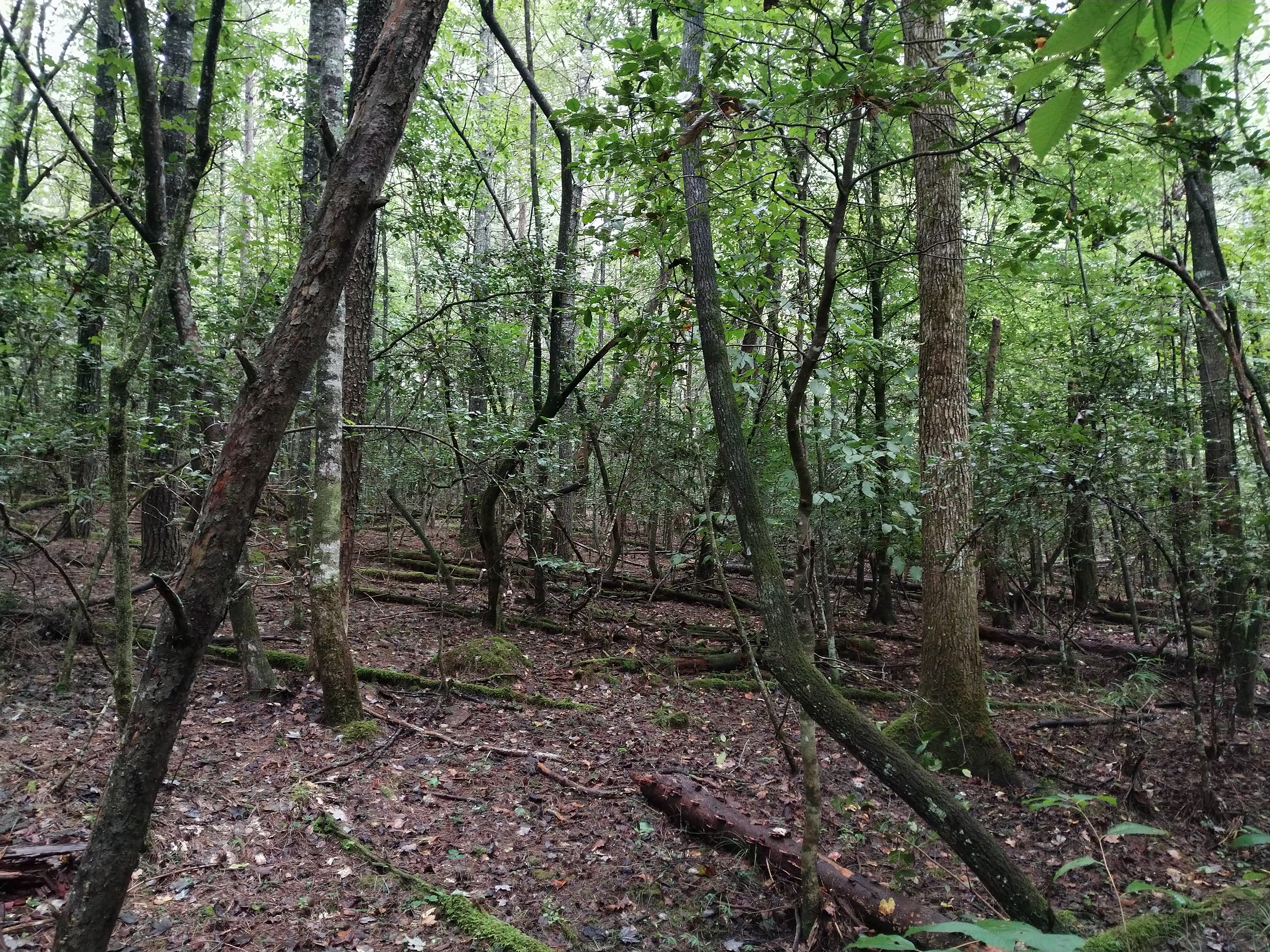
Hobble Island gets it's name from the vast amount of Dog Hobble found on it.
Parking Areas
You can enter Lakeside Park through 3 places.
The main parking area at the end of Lake Rhodhiss Dr.
McGalliard Falls and walking the Greenway and crossing the bridge/pipe.
The Intersection of Lovelady/Lake Rhodhiss Drive by walking the Hoyle Creek Trail.
